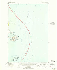
1951 Map of Afognak D-4
USGS Topo · Published 1956About this map
Katmai National Monument defines the western coast of this maritime study, where the Alaskan mainland meets the churning waters of the North Pacific. The prominent headland of Cape Douglas anchors the shoreline, surrounded by the hazardous waters of Douglas Reef to the south and the sheltered indentation of Sukoi Bay to the north. This mid-century hydrographic and topographic survey provides a detailed record of the soundings and bathymetry where Cook Inlet transitions into the broader Shelikof Strait. An approximate National Monument Boundary is charted through these waters, illustrating the protected marine and coastal reaches during a period when aerial photography was first being used to refine the rugged coastline of the Alaska-Third Judicial Division.
Find a feature on this map
7 named features on this map. Tap any name to fly to it.
Don’t see what you’re looking for? This feature index may not catch every label — zoom into the map to look around manually.
Map Details
Editions of this 1951 Afognak D-4 Map
2 editions found
Other maps of this area

1951 · Seldovia
USGS Topo · 1:250,000
1951 · Afognak C-5
USGS Topo · 1:63,360

1951 · Afognak D-5
USGS Topo · 1:63,360

1952 · Iliamna
USGS Topo · 1:250,000

1952 · Afognak
USGS Topo · 1:250,000

1957 · Iliamna
USGS Topo · 1:250,000

1963 · Seldovia
USGS Topo · 1:250,000
2018 · Iliamna A-1 SW
USGS Topo · 1:25,000
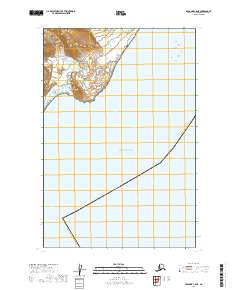
2019 · Afognak C-5 NE
USGS Topo · 1:25,000
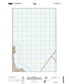
2019 · Afognak D-4 NW
USGS Topo · 1:25,000