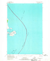
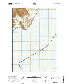
1951 Map of Afognak D-4
USGS Topo · Published 1967About this map
Katmai National Monument defines the coastal boundary of this 1951 survey, capturing a rugged marine landscape where the Alaska Peninsula meets the sea. The map focuses on the waters of Cook Inlet and Shelikof Strait, providing a detailed study of the soundings and depth curves between the mainland and the Kodiak Island Borough line. Notable coastal features like Cape South Douglas, Sukoi Bay, and Katmai Bay offer a glimpse into the isolated coastline before later administrative shifts. The chart emphasizes the National Monument Boundary (Approximate), reflecting the preservation of these lands under federal management during the mid-century period.
Find a feature on this map
9 named features on this map. Tap any name to fly to it.
Don’t see what you’re looking for? This feature index may not catch every label — zoom into the map to look around manually.
Map Details
Editions of this 1951 Afognak D-4 Map
2 editions found
Other maps of this area

1951 · Seldovia
USGS Topo · 1:250,000
1951 · Afognak C-5
USGS Topo · 1:63,360
1951 · Afognak D-4
USGS Topo · 1:63,360

1951 · Afognak D-5
USGS Topo · 1:63,360

1952 · Iliamna
USGS Topo · 1:250,000

1952 · Afognak
USGS Topo · 1:250,000

1957 · Iliamna
USGS Topo · 1:250,000

1963 · Seldovia
USGS Topo · 1:250,000
2018 · Iliamna A-1 SW
USGS Topo · 1:25,000
2019 · Afognak C-5 NE
USGS Topo · 1:25,000