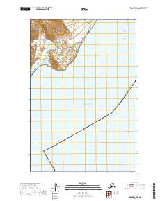
2019 Map of Afognak C-5 NE
USGS Topo · Published 2019About this map
Katmai National Park encompasses the rugged coastal terrain in the northwestern corner of this 2019 survey, where steep contours descend rapidly toward the shoreline. The remainder of the map is dominated by the open waters of the Pacific Ocean, demarcated by the administrative boundary of the Kodiak Island Borough. This maritime environment represents a remote section of the Alaska Peninsula and Kodiak Island region, focusing on the interface between federally protected parkland and the sea. The mapping reflects the preservation of this coastal wilderness, showing the vast expanse of the ocean without the presence of permanent settlements or infrastructure, emphasizing the natural boundary between land and water in a contemporary context.
Find a feature on this map
8 named features on this map. Tap any name to fly to it.
Don’t see what you’re looking for? This feature index may not catch every label — zoom into the map to look around manually.
Map Details
Editions of this 2019 Afognak C-5 NE Map
This is the sole edition of this map. No revisions or reprints were ever made.
Other maps of this area
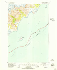
1951 · Afognak C-5
USGS Topo · 1:63,360
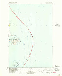
1951 · Afognak D-4
USGS Topo · 1:63,360

1951 · Afognak D-5
USGS Topo · 1:63,360

1952 · Afognak
USGS Topo · 1:250,000
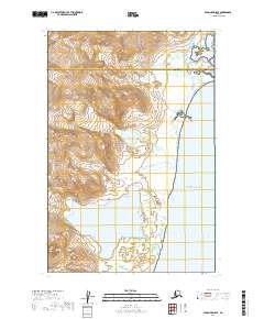
2019 · Afognak D-5 SE
USGS Topo · 1:25,000
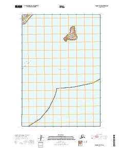
2019 · Afognak C-5 SW
USGS Topo · 1:25,000
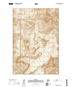
2019 · Afognak D-5 SW
USGS Topo · 1:25,000
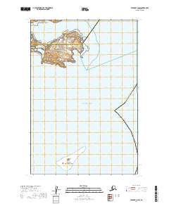
2019 · Afognak D-4 SW
USGS Topo · 1:25,000
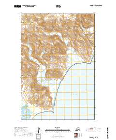
2019 · Afognak C-5 NW
USGS Topo · 1:25,000