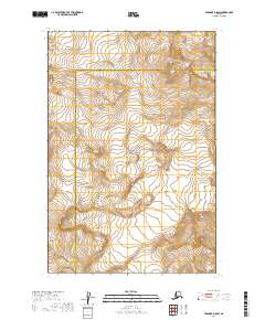
2019 Map of Afognak D-5 SW
USGS Topo · Published 2019About this map
Katmai National Park dominates this remote stretch of the Alaska Peninsula, where the landscape is defined by massive glacial systems and volcanic peaks. The peak of Mt Douglas rises in the northern portion of the quadrangle, serving as a prominent landmark near the jurisdictional boundary where the Kenai Peninsula Borough meets the Kodiak Island Borough. The topography is characterized by the movement of ice, most notably at Spotted Glacier, which flows through the high-elevation terrain. This 2019 survey captures the wilderness in a state of natural flux, showing the complex contour patterns of the Aleutian Range before they reach the coast. The map provides a precise record of the township and range lines, including t15s r26w and t16s r26w, which assist in orienting this undeveloped landscape within the broader Katmai wilderness.
Find a feature on this map
8 named features on this map. Tap any name to fly to it.
Don’t see what you’re looking for? This feature index may not catch every label — zoom into the map to look around manually.
Map Details
Editions of this 2019 Afognak D-5 SW Map
This is the sole edition of this map. No revisions or reprints were ever made.
Other maps of this area

1951 · Afognak C-6
USGS Topo · 1:63,360
1951 · Afognak C-5
USGS Topo · 1:63,360

1951 · Afognak D-5
USGS Topo · 1:63,360

1951 · Afognak D-6
USGS Topo · 1:63,360

1952 · Afognak
USGS Topo · 1:250,000
1983 · Afognak D-6
USGS Topo · 1:63,360
2019 · Afognak C-5 NE
USGS Topo · 1:25,000
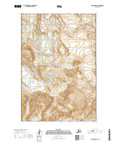
2019 · Afognak D-6 SE
USGS Topo · 1:25,000
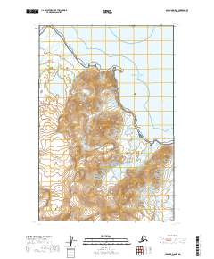
2019 · Afognak D-5 NE
USGS Topo · 1:25,000
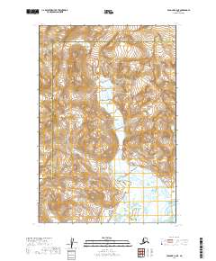
2019 · Afognak C-6 NE
USGS Topo · 1:25,000