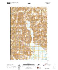
2019 Map of Afognak C-6 NE
USGS Topo · Published 2019About this map
Katmai National Park encompasses the majority of this coastal Alaskan landscape, where the braided channels of the Swikshak River flow toward the Shelikof Strait. The terrain is defined by dramatic elevation changes, with ridges rising steeply from the river valley to over 3,000 feet. This 2019 survey captures the transition between the Kenai Peninsula Borough and the Kodiak Island Borough, illustrating a remote wilderness where natural hydrology remains the primary structural element. The lack of roads or established settlements on this sheet highlights the protected, primitive nature of the park's eastern boundary and its tidal river systems.
Find a feature on this map
9 named features on this map. Tap any name to fly to it.
Don’t see what you’re looking for? This feature index may not catch every label — zoom into the map to look around manually.
Map Details
Editions of this 2019 Afognak C-6 NE Map
This is the sole edition of this map. No revisions or reprints were ever made.
Other maps of this area

1951 · Afognak C-6
USGS Topo · 1:63,360
1951 · Afognak C-5
USGS Topo · 1:63,360

1951 · Afognak D-5
USGS Topo · 1:63,360

1951 · Afognak D-6
USGS Topo · 1:63,360

1952 · Afognak
USGS Topo · 1:250,000
1983 · Afognak D-6
USGS Topo · 1:63,360
2019 · Afognak C-6 SW
USGS Topo · 1:25,000
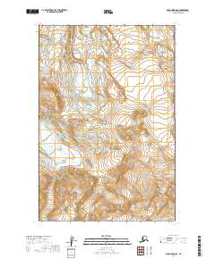
2019 · Afognak D-6 SE
USGS Topo · 1:25,000
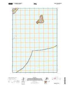
2019 · Afognak C-5 SW
USGS Topo · 1:25,000
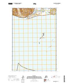
2019 · Afognak C-6 SE
USGS Topo · 1:25,000