
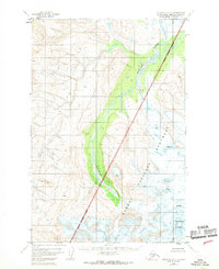
1951 Map of Afognak D-6
USGS Topo · Published 1956About this map
Katmai National Monument dominates the southeastern portion of this 1951 aerial survey, its designated National Monument Boundary cutting diagonally across a landscape defined by glacial activity and high-latitude river systems. The Douglas River winds through the central valley, fed by meltwater from the surrounding peaks. In the southeast corner, Fourpeaked Mountain rises as a prominent landmark, its slopes marked by numerous crevasses that indicate the movement of active ice fields.
Find a feature on this map
6 named features on this map. Tap any name to fly to it.
Don’t see what you’re looking for? This feature index may not catch every label — zoom into the map to look around manually.
Map Details
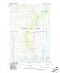
Editions of this 1951 Afognak D-6 Map
3 editions found
Other maps of this area

1948 · Mt Katmai
USGS Topo · 1:250,000

1951 · Mt Katmai
USGS Topo · 1:250,000

1951 · Afognak C-6
USGS Topo · 1:63,360
1951 · Afognak C-5
USGS Topo · 1:63,360

1951 · Mount Katmai D-1
USGS Topo · 1:63,360

1951 · Iliamna A-3
USGS Topo · 1:63,360

1951 · Iliamna A-1 and A-2
USGS Topo · 1:63,360

1951 · Mount Katmai C-1
USGS Topo · 1:63,360

1951 · Afognak D-5
USGS Topo · 1:63,360

1952 · Iliamna
USGS Topo · 1:250,000