
1951 Map of Iliamna A-3
USGS Topo · Published 1956About this map
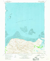
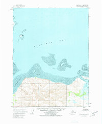
Kamishak Bay dominates the northern half of this 1951 aerial survey, where the deep waters of the Cook Inlet transition into a complex coastal environment. Along the southern shoreline, the topography rises sharply from the sea, characterized by steep elevations and the mouth of the Douglas River. This area is defined by its dramatic tidal fluctuations, leaving extensive Tidal Flats exposed between the mainland and the open bay.
Find a feature on this map
6 named features on this map. Tap any name to fly to it.
Don’t see what you’re looking for? This feature index may not catch every label — zoom into the map to look around manually.
Map Details
Editions of this 1951 Iliamna A-3 Map
3 editions found
Other maps of this area

1948 · Mt Katmai
USGS Topo · 1:250,000

1951 · Mt Katmai
USGS Topo · 1:250,000

1951 · Iliamna A-4
USGS Topo · 1:63,360

1951 · Mount Katmai D-1
USGS Topo · 1:63,360

1951 · Iliamna A-1 and A-2
USGS Topo · 1:63,360

1951 · Afognak D-6
USGS Topo · 1:63,360

1952 · Iliamna
USGS Topo · 1:250,000

1952 · Afognak
USGS Topo · 1:250,000

1952 · Iliamna A-4
USGS Topo · 1:63,360
1953 · Mount Katmai D-1
USGS Topo · 1:63,360