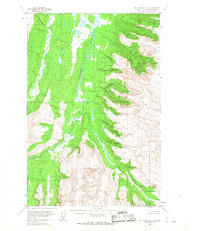
1953 Map of Mount Katmai D-1
USGS Topo · Published 1968About this map
The Kamishak River winds through the heart of this Kenai Peninsula landscape as it appeared in the early 1950s. Photogrammetric methods from 1951 aerial photography reveal a wilderness defined by drainage patterns and glacial topography, where the main river is joined by the significant South Fork. To the west, Strike Creek flows along a distinct north-south axis through an area of swamps and low relief. This portion of the Mt. Katmai D-1 sheet includes unsurveyed land lines predetermined by the Bureau of Land Management, reflecting a period when large tracts of the Alaskan interior remained unmarked on the ground. The absence of roads or trails emphasizes the isolation of the river systems during this surveying era.
Find a feature on this map
3 named features on this map. Tap any name to fly to it.
Don’t see what you’re looking for? This feature index may not catch every label — zoom into the map to look around manually.
Map Details
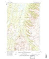
Editions of this 1953 Mount Katmai D-1 Map
2 editions found
Other maps of this area

1948 · Mt Katmai
USGS Topo · 1:250,000

1951 · Mt Katmai
USGS Topo · 1:250,000

1951 · Afognak C-6
USGS Topo · 1:63,360

1951 · Iliamna A-4
USGS Topo · 1:63,360

1951 · Mount Katmai D-1
USGS Topo · 1:63,360

1951 · Iliamna A-3
USGS Topo · 1:63,360

1951 · Mount Katmai C-2
USGS Topo · 1:63,360

1951 · Mount Katmai D-2
USGS Topo · 1:63,360

1951 · Mount Katmai C-1
USGS Topo · 1:63,360

1951 · Afognak D-6
USGS Topo · 1:63,360