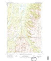
1953 Map of Mount Katmai D-1
USGS Topo · Published 1968About this map
The Kamishak River dominates this landscape in the Alaska-Kenai Peninsula Borough, winding through a broad drainage basin defined by elevation data and glacial topography. This 1953 survey, derived from aerial photography and field annotation, captures the complex hydraulic patterns of the South Fork as it joins the main channel. To the west, the smaller Strike Creek cuts through the terrain, illustrating the intricate network of tributaries that feed into the Kamishak. There are no roads or trails recorded on this sheet, reflecting a period when this part of the Alaska Peninsula was managed primarily as an unsurveyed wilderness. The map provides a precise record of the natural hydrology and topographical contours before later environmental shifts or administrative changes in the borough's development.
Find a feature on this map
4 named features on this map. Tap any name to fly to it.
Don’t see what you’re looking for? This feature index may not catch every label — zoom into the map to look around manually.
Map Details
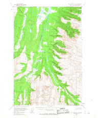
Editions of this 1953 Mount Katmai D-1 Map
2 editions found
Other maps of this area

1948 · Mt Katmai
USGS Topo · 1:250,000

1951 · Mt Katmai
USGS Topo · 1:250,000

1951 · Afognak C-6
USGS Topo · 1:63,360

1951 · Iliamna A-4
USGS Topo · 1:63,360

1951 · Mount Katmai D-1
USGS Topo · 1:63,360

1951 · Iliamna A-3
USGS Topo · 1:63,360

1951 · Mount Katmai C-2
USGS Topo · 1:63,360

1951 · Mount Katmai D-2
USGS Topo · 1:63,360

1951 · Mount Katmai C-1
USGS Topo · 1:63,360

1951 · Afognak D-6
USGS Topo · 1:63,360