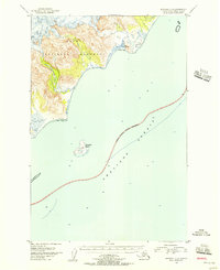
1951 Map of Afognak C-5
USGS Topo · Published 1956About this map
The coastal boundary of Katmai National Monument defines the shoreline of this remote Alaskan terrain as it appeared in the early 1950s. The map captures the meeting point of the monument's mountainous interior and the vast Shelikof Strait, where large Tidal Flats separate the steep topography from the open water. A distinct National Monument Boundary (Approximate) bisects the strait, indicating the jurisdictional limits of the era. Located just offshore, Kiukpalik Island serves as a lone landmark in the sea, notably housing Fox Farm (Aband). This detail provides a rare glimpse into the early 20th-century history of the region, where isolated agricultural outposts were established before being reclaimed by the wilderness. The survey, compiled from USC&GS charts and 1951 aerial photography, documents a landscape largely untouched by infrastructure beyond these few markers of human presence.
Find a feature on this map
6 named features on this map. Tap any name to fly to it.
Don’t see what you’re looking for? This feature index may not catch every label — zoom into the map to look around manually.
Map Details
Editions of this 1951 Afognak C-5 Map
2 editions found
Other maps of this area

1951 · Afognak C-6
USGS Topo · 1:63,360
1951 · Afognak D-4
USGS Topo · 1:63,360

1951 · Afognak D-5
USGS Topo · 1:63,360

1951 · Afognak D-6
USGS Topo · 1:63,360

1952 · Afognak
USGS Topo · 1:250,000
1952 · Afognak B-4
USGS Topo · 1:63,360
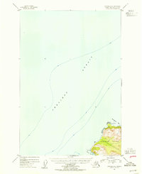
1954 · Afognak B-4
USGS Topo · 1:63,360
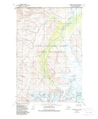
1983 · Afognak D-6
USGS Topo · 1:63,360
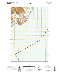
2019 · Afognak C-5 NE
USGS Topo · 1:25,000
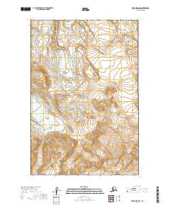
2019 · Afognak D-6 SE
USGS Topo · 1:25,000