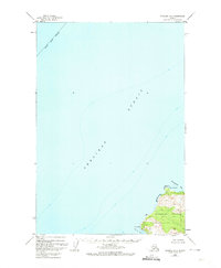
1952 Map of Afognak B-4
USGS Topo · Published 1974About this map
Afognak Island stands at the eastern edge of the Shelikof Strait in this early 1950s survey. The landscape is defined by its maritime geography, where the northern tip of the island is carved by Paramanof Bay and Malina Bay. This area, tucked within the Chugach National Forest, shows very limited human modification at the time of the survey. A single Cabin is recorded near Cape Paramanof, a detail of interest to local historians and genealogists researching mid-century residency in this part of the Kodiak Island Borough. The map also identifies Tanaak Cape and the survey marker Vabm 102, illustrating the baseline topography of this coastal wilderness before more modern developments reached the northern Afognak shoreline.
Find a feature on this map
11 named features on this map. Tap any name to fly to it.
Don’t see what you’re looking for? This feature index may not catch every label — zoom into the map to look around manually.
Map Details
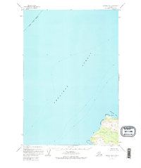
Editions of this 1952 Afognak B-4 Map
2 editions found
Other maps of this area
1951 · Afognak C-5
USGS Topo · 1:63,360

1952 · Afognak
USGS Topo · 1:250,000

1952 · Afognak A-4
USGS Topo · 1:63,360

1952 · Afognak A-3
USGS Topo · 1:63,360
1952 · Afognak A-5
USGS Topo · 1:63,360

1953 · Afognak A-4
USGS Topo · 1:63,360
1953 · Afognak A-5
USGS Topo · 1:63,360

1954 · Afognak B-3
USGS Topo · 1:63,360
1954 · Afognak B-4
USGS Topo · 1:63,360
1954 · Afognak A-3
USGS Topo · 1:63,360