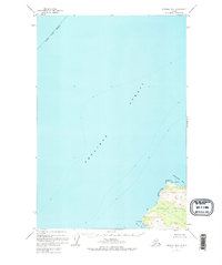
1952 Map of Afognak B-4
USGS Topo · Published 1974About this map
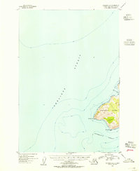
Shelikof Strait dominates this 1952 study, depicting the maritime passage between the mainland and the northwestern coast of Afognak Island. The map focuses on a rugged corner of the Kodiak Island Borough, where the coastline is defined by the deep indentations of Paramanof Bay and Malina Bay. A lone Cabin sits near Cape Paramanof, representing the sparse human footprint in an area otherwise governed by topography and tide.
Find a feature on this map
10 named features on this map. Tap any name to fly to it.
Don’t see what you’re looking for? This feature index may not catch every label — zoom into the map to look around manually.
Map Details
Editions of this 1952 Afognak B-4 Map
2 editions found
Other maps of this area
1951 · Afognak C-5
USGS Topo · 1:63,360

1952 · Afognak
USGS Topo · 1:250,000

1952 · Afognak A-4
USGS Topo · 1:63,360

1952 · Afognak A-3
USGS Topo · 1:63,360
1952 · Afognak A-5
USGS Topo · 1:63,360
1952 · Afognak B-4
USGS Topo · 1:63,360

1953 · Afognak A-4
USGS Topo · 1:63,360
1953 · Afognak A-5
USGS Topo · 1:63,360

1954 · Afognak B-3
USGS Topo · 1:63,360
1954 · Afognak B-4
USGS Topo · 1:63,360