
1952 Map of Afognak A-3
USGS Topo · Published 1966About this map
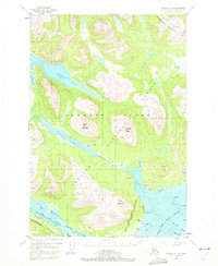
Afognak stands at the southern edge of this mid-century survey, positioned where the Afognak River meets the protected waters of Afognak Bay. This coastal landscape within the Chugach National Forest is defined by its maritime economy and native heritage, evidenced by the presence of Aleut Village and Settlement Pt. The interior is dominated by freshwater systems, notably Afognak Lake, which feeds the river through a series of falls near Last Pt.
Find a feature on this map
40 named features on this map. Tap any name to fly to it.
Don’t see what you’re looking for? This feature index may not catch every label — zoom into the map to look around manually.
Map Details
Editions of this 1952 Afognak A-3 Map
4 editions found
Other maps of this area

1947 · Kodiak D-3
USGS Topo · 1:63,360

1949 · Kodiak D-2
USGS Topo · 1:63,360

1949 · Kodiak D-3
USGS Topo · 1:63,360

1950 · Kodiak D-3
USGS Topo · 1:63,360

1951 · Kodiak D-2
USGS Topo · 1:63,360

1952 · Kodiak
USGS Topo · 1:250,000

1952 · Afognak
USGS Topo · 1:250,000

1952 · Afognak A-4
USGS Topo · 1:63,360

1952 · Afognak A-2
USGS Topo · 1:63,360

1952 · Afognak B-2
USGS Topo · 1:63,360