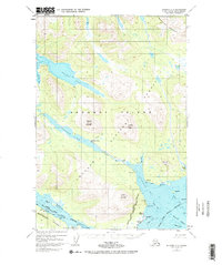
1952 Map of Afognak A-3
USGS Topo · Published 1984About this map
Afognak Bay and the surrounding wilderness of the Afognak National Forest define this 1950s landscape on the northern reaches of the Kodiak Archipelago. The map identifies the coastal community of Afognak, situated near Aleut Village and Settlement Pt, reflecting a time of established maritime life before later environmental shifts altered the region. The interior is dominated by the waterway system of Afognak Lake and the Afognak River, which includes a noted Covered Bridge and a Recreation Camp at the lake's edge.
Find a feature on this map
46 named features on this map. Tap any name to fly to it.
Don’t see what you’re looking for? This feature index may not catch every label — zoom into the map to look around manually.
Map Details
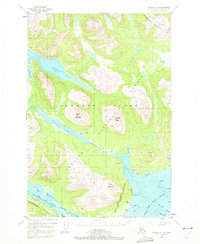
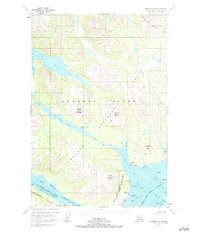
Editions of this 1952 Afognak A-3 Map
4 editions found
Other maps of this area

1947 · Kodiak D-3
USGS Topo · 1:63,360

1949 · Kodiak D-2
USGS Topo · 1:63,360

1949 · Kodiak D-3
USGS Topo · 1:63,360

1950 · Kodiak D-3
USGS Topo · 1:63,360

1951 · Kodiak D-2
USGS Topo · 1:63,360

1952 · Kodiak
USGS Topo · 1:250,000

1952 · Afognak
USGS Topo · 1:250,000

1952 · Afognak A-4
USGS Topo · 1:63,360

1952 · Afognak A-3
USGS Topo · 1:63,360

1952 · Afognak A-2
USGS Topo · 1:63,360