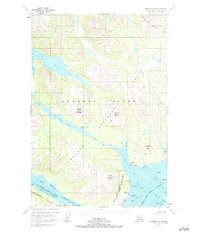
1952 Map of Afognak A-3
USGS Topo · Published 1984About this map
Afognak and the nearby Aleut Village anchor the southern coast of this 1952 topographic study of the Kodiak Island Borough. The landscape is defined by the significant hydrological system connecting Afognak Lake to the sea via the Afognak River, a corridor that also features a Recreation Camp and Hatchery Creek. The rugged coastline is deeply indented by Malina Bay to the north and the complex waters of Afognak Bay and Raspberry Strait to the south. This era of mapping shows the established boundaries of the Afognak Island National Forest, where high elevations like Paramanof Mountain and Litnik Mountain overlook the maritime settlements. Genealogists and historians can identify specific coastal landmarks such as Settlement Pt, Graveyard Pt, and several small islands including Lamb I and Alexander I that shaped the fishing and subsistence life of the region before significant late-century changes.
Find a feature on this map
44 named features on this map. Tap any name to fly to it.
Don’t see what you’re looking for? This feature index may not catch every label — zoom into the map to look around manually.
Map Details
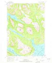
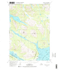
Editions of this 1952 Afognak A-3 Map
4 editions found
Other maps of this area

1947 · Kodiak D-3
USGS Topo · 1:63,360

1949 · Kodiak D-2
USGS Topo · 1:63,360

1949 · Kodiak D-3
USGS Topo · 1:63,360

1950 · Kodiak D-3
USGS Topo · 1:63,360

1951 · Kodiak D-2
USGS Topo · 1:63,360

1952 · Kodiak
USGS Topo · 1:250,000

1952 · Afognak
USGS Topo · 1:250,000

1952 · Afognak A-4
USGS Topo · 1:63,360

1952 · Afognak A-3
USGS Topo · 1:63,360

1952 · Afognak A-2
USGS Topo · 1:63,360