
1952 Map of Kodiak
USGS Topo · Published 1953About this map
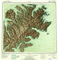
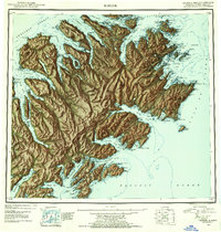
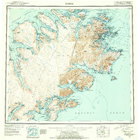
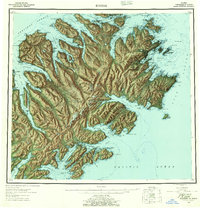
Kodiak Island is depicted here in a mid-century reconnaissance survey that highlights the island's complex geography of deep fjords and maritime settlements. The town of Kodiak serves as the primary hub, situated near the sprawling Naval Reservation and its associated airport and military base infrastructure during the post-war era. The map traces the coastline from the Shelikof Strait to the Pacific, revealing a pattern of remote outposts and industry, including whaling operations at Port Hobron and multiple locations simply marked Cannery. Inland, the Kodiak National Wildlife Refuge encompasses the interior peaks such as Crown Mtn and Center Mtn. Smaller communities like Afognak, Uzinki, and Old Harbor dot the surrounding islands and bays, reflecting the established indigenous and commercial fishing life of the Third Judicial Division.
Find a feature on this map
131 named features on this map. Tap any name to fly to it.
Don’t see what you’re looking for? This feature index may not catch every label — zoom into the map to look around manually.
Map Details
Editions of this 1952 Kodiak Map
12 editions found
1953 edition
21.4 x 22 inches
1953 edition
21.3 x 22 inches
1954 edition
21.1 x 22.1 inches
1954 edition
21.5 x 21.9 inches
1957 edition
21.2 x 22 inches
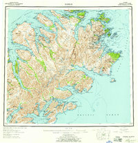
1957 edition
21.3 x 22 inches
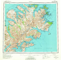
1964 edition
22.1 x 21.9 inches
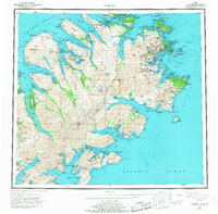
1968 edition
22.3 x 22 inches
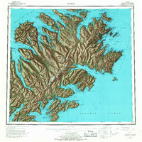
1968 edition
22.1 x 22.1 inches
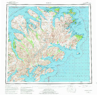
1980 edition
22.6 x 22.1 inches
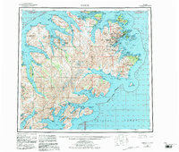
1983 edition
26.5 x 22.5 inches
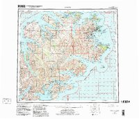
1983 edition
27.38 x 23.45 inches
Other maps of this area

1947 · Kodiak D-3
USGS Topo · 1:63,360

1948 · Mt Katmai
USGS Topo · 1:250,000

1949 · Kodiak C-2
USGS Topo · 1:63,360

1949 · Kodiak B-1 and B-2
USGS Topo · 1:63,360

1949 · Kodiak D-2
USGS Topo · 1:63,360

1949 · Kodiak D-3
USGS Topo · 1:63,360

1949 · Kodiak A-3
USGS Topo · 1:63,360

1949 · Kodiak C-1
USGS Topo · 1:63,360

1949 · Kodiak B-3
USGS Topo · 1:63,360

1949 · Kodiak D-1
USGS Topo · 1:63,360