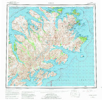
1952 Map of Kodiak
USGS Topo · Published 1980About this map
Kodiak Island is dominated by a jagged, glacial coastline and deep saltwater fjords that defined the maritime economy of the mid-20th century. Concentrated around Kodiak, the settlement pattern fans out to remote cannery sites and villages such as Port Lions and Old Harbor. The map highlights the significant post-war military footprint in the region, specifically the US Coast Guard Reservation and US Naval Res near Womens Bay. These strategic outposts, combined with the rugged interior peaks like Mount Glottof and Crown Mtn, illustrate the intersection of strategic defense and commercial fishing that shaped Alaska's Gulf coast during the 1950s. The detail includes numerous smaller outposts such as McCord and Port Hobron, offering a clear view of the island's coastal dependencies before modern infrastructure connected these distant bays.
Find a feature on this map
99 named features on this map. Tap any name to fly to it.
Don’t see what you’re looking for? This feature index may not catch every label — zoom into the map to look around manually.
Map Details
Editions of this 1952 Kodiak Map
12 editions found

1953 edition
21.4 x 22 inches
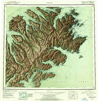
1953 edition
21.3 x 22 inches
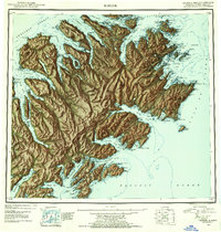
1954 edition
21.1 x 22.1 inches
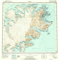
1954 edition
21.5 x 21.9 inches
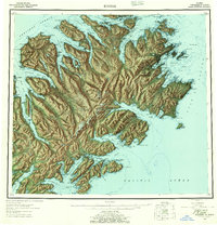
1957 edition
21.2 x 22 inches
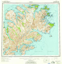
1957 edition
21.3 x 22 inches
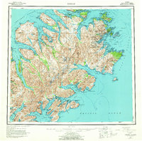
1964 edition
22.1 x 21.9 inches
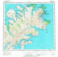
1968 edition
22.3 x 22 inches
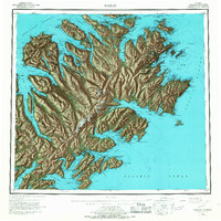
1968 edition
22.1 x 22.1 inches
1980 edition
22.6 x 22.1 inches
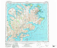
1983 edition
26.5 x 22.5 inches
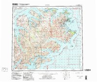
1983 edition
27.38 x 23.45 inches
Other maps of this area

1947 · Kodiak D-3
USGS Topo · 1:63,360

1948 · Mt Katmai
USGS Topo · 1:250,000

1949 · Kodiak C-2
USGS Topo · 1:63,360

1949 · Kodiak B-1 and B-2
USGS Topo · 1:63,360

1949 · Kodiak D-2
USGS Topo · 1:63,360

1949 · Kodiak D-3
USGS Topo · 1:63,360

1949 · Kodiak A-3
USGS Topo · 1:63,360

1949 · Kodiak C-1
USGS Topo · 1:63,360

1949 · Kodiak B-3
USGS Topo · 1:63,360

1949 · Kodiak D-1
USGS Topo · 1:63,360