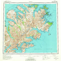
1952 Map of Kodiak
USGS Topo · Published 1964About this map
Kodiak National Wildlife Refuge encompasses the mountainous interior of Kodiak Island, where peaks like Crown Mtn and Mount Glottof rise above a landscape defined by deep fjords and narrow straits. The 1950s coastline is dotted with isolated settlements including Uganik Village on the western shore and the whaling and ranching history of Port Hobron on Sitkalidak Island. Near the population center of Kodiak, the U S Naval Reservation signifies the area's strategic importance during and after World War II.
Find a feature on this map
51 named features on this map. Tap any name to fly to it.
Don’t see what you’re looking for? This feature index may not catch every label — zoom into the map to look around manually.
Map Details
Editions of this 1952 Kodiak Map
12 editions found

1953 edition
21.4 x 22 inches
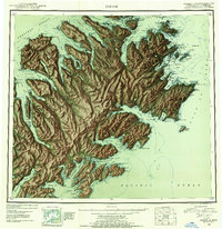
1953 edition
21.3 x 22 inches
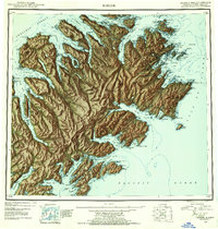
1954 edition
21.1 x 22.1 inches
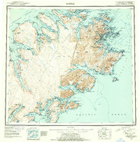
1954 edition
21.5 x 21.9 inches
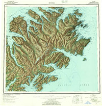
1957 edition
21.2 x 22 inches
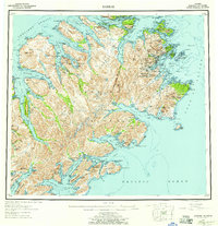
1957 edition
21.3 x 22 inches
1964 edition
22.1 x 21.9 inches
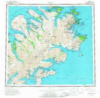
1968 edition
22.3 x 22 inches
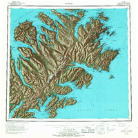
1968 edition
22.1 x 22.1 inches
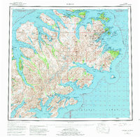
1980 edition
22.6 x 22.1 inches
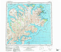
1983 edition
26.5 x 22.5 inches
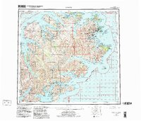
1983 edition
27.38 x 23.45 inches
Other maps of this area

1947 · Kodiak D-3
USGS Topo · 1:63,360

1948 · Mt Katmai
USGS Topo · 1:250,000

1949 · Kodiak C-2
USGS Topo · 1:63,360

1949 · Kodiak B-1 and B-2
USGS Topo · 1:63,360

1949 · Kodiak D-2
USGS Topo · 1:63,360

1949 · Kodiak D-3
USGS Topo · 1:63,360

1949 · Kodiak A-3
USGS Topo · 1:63,360

1949 · Kodiak C-1
USGS Topo · 1:63,360

1949 · Kodiak B-3
USGS Topo · 1:63,360

1949 · Kodiak D-1
USGS Topo · 1:63,360