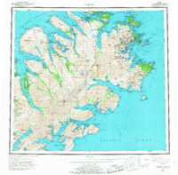
1952 Map of Kodiak
USGS Topo · Published 1968About this map
Kodiak and its surrounding archipelago are depicted here during the mid-20th century, a time defined by the coastal maritime economy and the expansive U S Naval Reservation protecting the strategic North Pacific. The map details the deep-water inlets of Chiniak Bay and Ugak Bay, alongside established settlements like Old Harbor and the cannery hub at Larsen Bay. Much of the interior is dominated by the Kodiak National Wildlife Refuge, where high peaks such as Mount Glottof and Crown Mtn overlook a complex system of glacial lakes, including Karluk Lake and Uganik Lake. The geography of the islands is meticulously captured, from the narrow Sitkalidak Strait to the northern reaches of Afognak Island. This survey reflects the era's reliance on the sea for transport and industry, mapping numerous bays and peninsulas that were central to the region's salmon fisheries and coastal identity.
Find a feature on this map
73 named features on this map. Tap any name to fly to it.
Don’t see what you’re looking for? This feature index may not catch every label — zoom into the map to look around manually.
Map Details
Editions of this 1952 Kodiak Map
12 editions found

1953 edition
21.4 x 22 inches
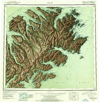
1953 edition
21.3 x 22 inches
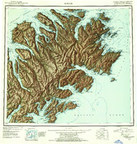
1954 edition
21.1 x 22.1 inches
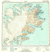
1954 edition
21.5 x 21.9 inches
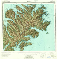
1957 edition
21.2 x 22 inches
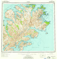
1957 edition
21.3 x 22 inches
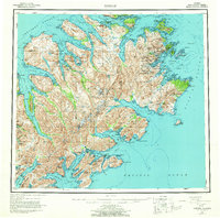
1964 edition
22.1 x 21.9 inches
1968 edition
22.3 x 22 inches
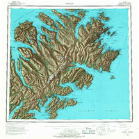
1968 edition
22.1 x 22.1 inches
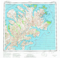
1980 edition
22.6 x 22.1 inches
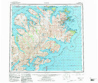
1983 edition
26.5 x 22.5 inches
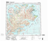
1983 edition
27.38 x 23.45 inches
Other maps of this area

1947 · Kodiak D-3
USGS Topo · 1:63,360

1948 · Mt Katmai
USGS Topo · 1:250,000

1949 · Kodiak C-2
USGS Topo · 1:63,360

1949 · Kodiak B-1 and B-2
USGS Topo · 1:63,360

1949 · Kodiak D-2
USGS Topo · 1:63,360

1949 · Kodiak D-3
USGS Topo · 1:63,360

1949 · Kodiak A-3
USGS Topo · 1:63,360

1949 · Kodiak C-1
USGS Topo · 1:63,360

1949 · Kodiak B-3
USGS Topo · 1:63,360

1949 · Kodiak D-1
USGS Topo · 1:63,360