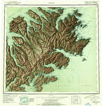
1952 Map of Kodiak
USGS Topo · Published 1953About this map
Kodiak and the surrounding coastal landscape of Kodiak Island are documented here during a period of post-war military and maritime significance. The northeastern shore is dominated by a sprawling Naval Reservation and a Military Airport, reflecting the strategic importance of the archipelago in the early 1950s. Farther south along the complex shoreline, smaller settlements like Old Harbor and Uzinki appear alongside industrial outposts such as the Cannery and Village Is. This survey captures the intricate network of fjords and inlets, from Uganik Passage to Three Saints Bay, illustrating how the island's geography dictated the placement of fishing and defense infrastructure. The coastline is defined by prominent landmarks like Cape Chiniak and Narrow Cape, which served as vital navigational points for traffic crossing the Gulf of Alaska and Shelikof Strait.
Find a feature on this map
51 named features on this map. Tap any name to fly to it.
Don’t see what you’re looking for? This feature index may not catch every label — zoom into the map to look around manually.
Map Details
Editions of this 1952 Kodiak Map
12 editions found

1953 edition
21.4 x 22 inches
1953 edition
21.3 x 22 inches
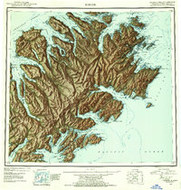
1954 edition
21.1 x 22.1 inches
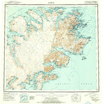
1954 edition
21.5 x 21.9 inches
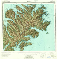
1957 edition
21.2 x 22 inches
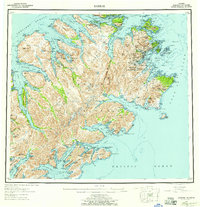
1957 edition
21.3 x 22 inches
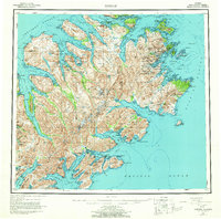
1964 edition
22.1 x 21.9 inches
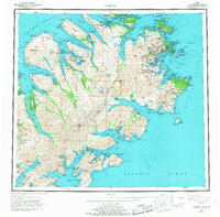
1968 edition
22.3 x 22 inches
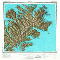
1968 edition
22.1 x 22.1 inches
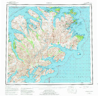
1980 edition
22.6 x 22.1 inches
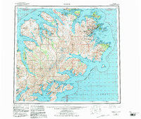
1983 edition
26.5 x 22.5 inches
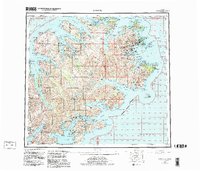
1983 edition
27.38 x 23.45 inches
Other maps of this area

1947 · Kodiak D-3
USGS Topo · 1:63,360

1948 · Mt Katmai
USGS Topo · 1:250,000

1949 · Kodiak C-2
USGS Topo · 1:63,360

1949 · Kodiak B-1 and B-2
USGS Topo · 1:63,360

1949 · Kodiak D-2
USGS Topo · 1:63,360

1949 · Kodiak D-3
USGS Topo · 1:63,360

1949 · Kodiak A-3
USGS Topo · 1:63,360

1949 · Kodiak C-1
USGS Topo · 1:63,360

1949 · Kodiak B-3
USGS Topo · 1:63,360

1949 · Kodiak D-1
USGS Topo · 1:63,360