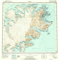
1952 Map of Kodiak
USGS Topo · Published 1954About this map
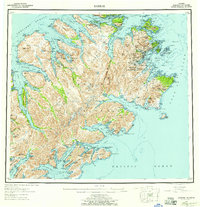
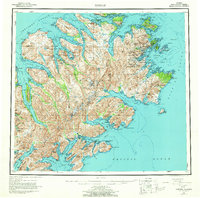
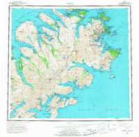
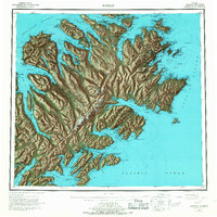
Kodiak serves as the focal point of this coastal reconnaissance, situated on the northeastern shore where the U S Naval Reservation occupied significant territory following the Second World War. The island's interior is defined by the massive Kodiak National Wildlife Refuge, a wilderness area surrounding peaks like Crown Mtn and Center Mtn. Along the intricate coastline, several small settlements and cannery sites like Port O'Brien and Village Is are visible, alongside indications of shifting residency such as Eagle Harbor (Aband). To the south, Sitkalidak Island and the village of Old Harbor reflect long-standing maritime heritage. The survey detail highlights the extreme topography of the archipelago, from the deep fjords of Uganik Bay to the maritime passages of Shelikof Strait, documenting the infrastructure of a post-war territory still reliant on sea-and-air transport.
Find a feature on this map
68 named features on this map. Tap any name to fly to it.
Don’t see what you’re looking for? This feature index may not catch every label — zoom into the map to look around manually.
Map Details
Editions of this 1952 Kodiak Map
12 editions found

1953 edition
21.4 x 22 inches
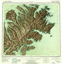
1953 edition
21.3 x 22 inches
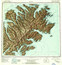
1954 edition
21.1 x 22.1 inches
1954 edition
21.5 x 21.9 inches
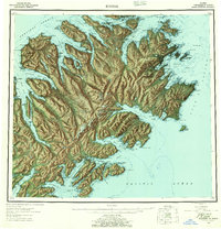
1957 edition
21.2 x 22 inches
1957 edition
21.3 x 22 inches
1964 edition
22.1 x 21.9 inches
1968 edition
22.3 x 22 inches
1968 edition
22.1 x 22.1 inches
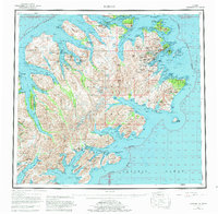
1980 edition
22.6 x 22.1 inches
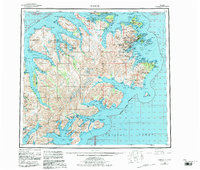
1983 edition
26.5 x 22.5 inches
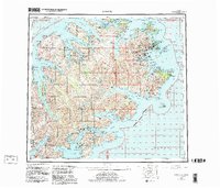
1983 edition
27.38 x 23.45 inches
Other maps of this area

1947 · Kodiak D-3
USGS Topo · 1:63,360

1948 · Mt Katmai
USGS Topo · 1:250,000

1949 · Kodiak C-2
USGS Topo · 1:63,360

1949 · Kodiak B-1 and B-2
USGS Topo · 1:63,360

1949 · Kodiak D-2
USGS Topo · 1:63,360

1949 · Kodiak D-3
USGS Topo · 1:63,360

1949 · Kodiak A-3
USGS Topo · 1:63,360

1949 · Kodiak C-1
USGS Topo · 1:63,360

1949 · Kodiak B-3
USGS Topo · 1:63,360

1949 · Kodiak D-1
USGS Topo · 1:63,360