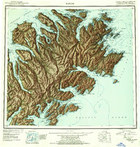
1952 Map of Kodiak
USGS Topo · Published 1954About this map
Kodiak Island and its surrounding archipelago are depicted here during a period of significant strategic importance following the mid-century. The map details the extensive coastline of the Gulf of Alaska and the Shelikof Strait, where the city of Kodiak serves as the primary hub. Notable for local history and genealogy research are the scattered settlements and outposts such as Uzinki, Afognak, and Port Hobron. The landscape is dominated by peaks like Crown Mountain and Barometer Mountain, while the maritime character is defined by the deep indentations of Chiniak Bay and Uyak Bay. A major feature of this era is the footprint of the Kodiak Naval Air Station and the Kodiak Naval Reservation, reflecting the military development of the region. The intricate network of narrows and passages, including Whale Passage and Sitkalidak Strait, highlights the reliance on waterborne travel between these island communities.
Find a feature on this map
108 named features on this map. Tap any name to fly to it.
Don’t see what you’re looking for? This feature index may not catch every label — zoom into the map to look around manually.
Map Details
Editions of this 1952 Kodiak Map
12 editions found

1953 edition
21.4 x 22 inches
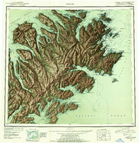
1953 edition
21.3 x 22 inches
1954 edition
21.1 x 22.1 inches
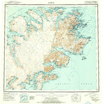
1954 edition
21.5 x 21.9 inches
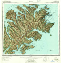
1957 edition
21.2 x 22 inches
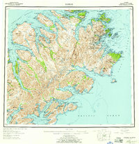
1957 edition
21.3 x 22 inches
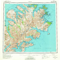
1964 edition
22.1 x 21.9 inches
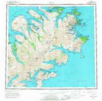
1968 edition
22.3 x 22 inches
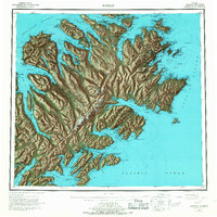
1968 edition
22.1 x 22.1 inches
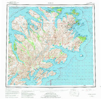
1980 edition
22.6 x 22.1 inches
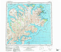
1983 edition
26.5 x 22.5 inches
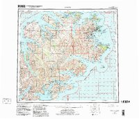
1983 edition
27.38 x 23.45 inches
Other maps of this area

1947 · Kodiak D-3
USGS Topo · 1:63,360

1948 · Mt Katmai
USGS Topo · 1:250,000

1949 · Kodiak C-2
USGS Topo · 1:63,360

1949 · Kodiak B-1 and B-2
USGS Topo · 1:63,360

1949 · Kodiak D-2
USGS Topo · 1:63,360

1949 · Kodiak D-3
USGS Topo · 1:63,360

1949 · Kodiak A-3
USGS Topo · 1:63,360

1949 · Kodiak C-1
USGS Topo · 1:63,360

1949 · Kodiak B-3
USGS Topo · 1:63,360

1949 · Kodiak D-1
USGS Topo · 1:63,360