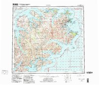
1952 Map of Kodiak
USGS Topo · Published 1983About this map
Kodiak Island is defined by its deeply incised coastline and the central high ground of Mount Glottof and the Marin Range. This mid-century compilation traces the strategic and maritime footprint of the region, from the U S Coast Guard Reservation near the town of Kodiak to the remote military USAF Res near Cape Chiniak. The map reveals a landscape of isolated coastal settlements like Old Harbor, Port Lions, and Larsen Bay, each linked more by the waters of Sitkalidak Strait and Helikof Strait than by any overland road network.
Find a feature on this map
105 named features on this map. Tap any name to fly to it.
Don’t see what you’re looking for? This feature index may not catch every label — zoom into the map to look around manually.
Map Details
Editions of this 1952 Kodiak Map
12 editions found

1953 edition
21.4 x 22 inches
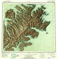
1953 edition
21.3 x 22 inches
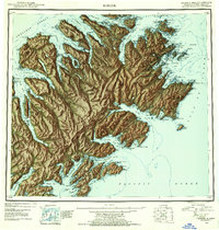
1954 edition
21.1 x 22.1 inches
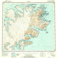
1954 edition
21.5 x 21.9 inches
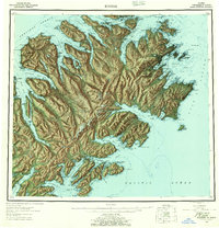
1957 edition
21.2 x 22 inches
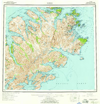
1957 edition
21.3 x 22 inches
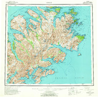
1964 edition
22.1 x 21.9 inches
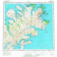
1968 edition
22.3 x 22 inches
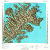
1968 edition
22.1 x 22.1 inches
1980 edition
22.6 x 22.1 inches
1983 edition
26.5 x 22.5 inches
1983 edition
27.38 x 23.45 inches
Other maps of this area

1947 · Kodiak D-3
USGS Topo · 1:63,360

1948 · Mt Katmai
USGS Topo · 1:250,000

1949 · Kodiak C-2
USGS Topo · 1:63,360

1949 · Kodiak B-1 and B-2
USGS Topo · 1:63,360

1949 · Kodiak D-2
USGS Topo · 1:63,360

1949 · Kodiak D-3
USGS Topo · 1:63,360

1949 · Kodiak A-3
USGS Topo · 1:63,360

1949 · Kodiak C-1
USGS Topo · 1:63,360

1949 · Kodiak B-3
USGS Topo · 1:63,360

1949 · Kodiak D-1
USGS Topo · 1:63,360