
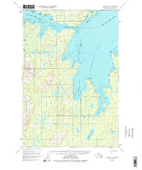
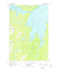
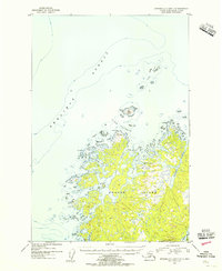
1952 Map of Afognak B-2
USGS Topo · Published 1971About this map
Port William and the nearby Port William (Seaplane Base) serve as the primary maritime hubs in this coastal Alaskan landscape, documented just after the mid-century. Situated on the northern reaches of Afognak Island and the southern edge of Shuyak Island, the map reveals a complex network of waterways including the Shuyak Strait and the sheltered waters of Perenosa Bay. The topography is defined by prominent peaks like Red Peak and deeply recessed inlets such as Big Waterfall Bay and Discoverer Bay.
Find a feature on this map
29 named features on this map. Tap any name to fly to it.
Don’t see what you’re looking for? This feature index may not catch every label — zoom into the map to look around manually.
Map Details
Editions of this 1952 Afognak B-2 Map
3 editions found
Other maps of this area

1952 · Afognak
USGS Topo · 1:250,000

1952 · Afognak C-1 and C-2
USGS Topo · 1:63,360

1952 · Afognak A-3
USGS Topo · 1:63,360

1952 · Afognak A-1
USGS Topo · 1:63,360

1952 · Afognak A-2
USGS Topo · 1:63,360
1952 · Afognak C-2 and C-3
USGS Topo · 1:63,360

1952 · Afognak B-1
USGS Topo · 1:63,360
1953 · Afognak A-1
USGS Topo · 1:63,360

1954 · Afognak B-3
USGS Topo · 1:63,360
1954 · Afognak C-2 and C-3
USGS Topo · 1:63,360