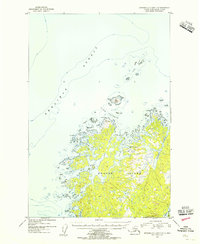
1954 Map of Afognak C-2 and C-3
USGS Topo · Published 1955About this map
Shuyak Island dominates this mid-century topographic survey, revealing a landscape defined by an intricate network of waterways and jagged coastal promontories. The northern reaches of the Kodiak Archipelago are shown here with detailed hydrography, charting the deep waters of the Shelikof Strait and the complex channels of Dark Passage. Landforms like Party Cape and Carshan Pt mark the entrances to sheltered harbors such as Shuyak Hbr and the expansive Shangin Bay.
Find a feature on this map
24 named features on this map. Tap any name to fly to it.
Don’t see what you’re looking for? This feature index may not catch every label — zoom into the map to look around manually.
Map Details
Editions of this 1954 Afognak C-2 and C-3 Map
This is the sole edition of this map. No revisions or reprints were ever made.
Other maps of this area

1952 · Afognak
USGS Topo · 1:250,000

1952 · Afognak C-1 and C-2
USGS Topo · 1:63,360
1952 · Afognak C-2 and C-3
USGS Topo · 1:63,360

1952 · Afognak B-2
USGS Topo · 1:63,360

1954 · Afognak B-3
USGS Topo · 1:63,360

1954 · Afognak B-2
USGS Topo · 1:63,360
1954 · Afognak C-1 and C-2
USGS Topo · 1:63,360
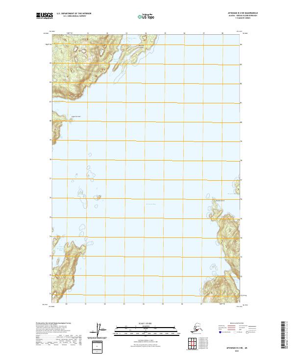
2021 · Afognak B-2 NE
USGS Topo · 1:25,000
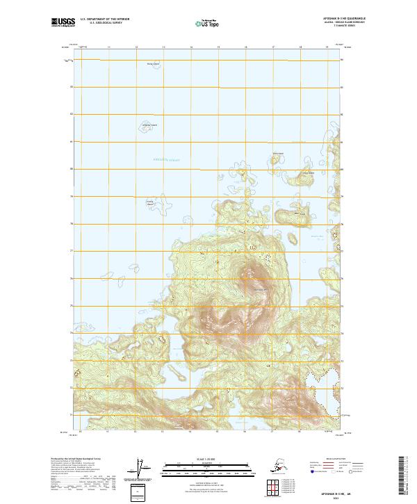
2021 · Afognak B-3 NE
USGS Topo · 1:25,000
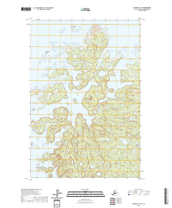
2021 · Afognak C-2 SW
USGS Topo · 1:25,000