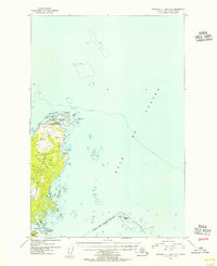
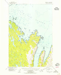
1954 Map of Afognak C-1 and C-2
USGS Topo · Published 1955About this map
Shuyak Island dominates this mid-century coastal survey, situated within the northern reaches of the Kodiak Archipelago. The map emphasizes the complex maritime geography of the Gulf of Alaska, characterized by an intricate network of inlets and smaller landmasses such as the Perevalnie Islands and Big Fort Island. A significant marker of human presence and mid-century technology is the Shuyak Radio Communication Center, positioned strategically near Perevalnie Passage.
Find a feature on this map
15 named features on this map. Tap any name to fly to it.
Don’t see what you’re looking for? This feature index may not catch every label — zoom into the map to look around manually.
Map Details
Editions of this 1954 Afognak C-1 and C-2 Map
This is the sole edition of this map. No revisions or reprints were ever made.
Other maps of this area
1951 · Afognak D-1
USGS Topo · 1:63,360

1952 · Afognak
USGS Topo · 1:250,000

1952 · Afognak C-1 and C-2
USGS Topo · 1:63,360
1952 · Afognak C-2 and C-3
USGS Topo · 1:63,360

1952 · Afognak B-2
USGS Topo · 1:63,360

1952 · Afognak B-1
USGS Topo · 1:63,360
1954 · Afognak C-2 and C-3
USGS Topo · 1:63,360

1954 · Afognak B-2
USGS Topo · 1:63,360
1954 · Afognak B-1
USGS Topo · 1:63,360
2021 · Afognak B-2 NE
USGS Topo · 1:25,000