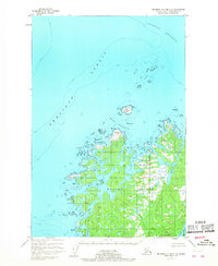
1952 Map of Afognak C-2 and C-3
USGS Topo · Published 1968About this map
Shuyak Island dominates this northern reach of the Kodiak Archipelago, where the waters of Shelikof Strait meet the Stevenson Entrance. The map reveals an intricate coastline defined by deep glacial indentations like Western Inlet and Neketa Bay, separated by points such as Party Cape and Cape Newland. In the early 1950s, this landscape remained largely wild, with the interior terrain characterized by hundreds of small unnamed lakes and ponds scattered across the island's low-lying northern plateau.
Find a feature on this map
22 named features on this map. Tap any name to fly to it.
Don’t see what you’re looking for? This feature index may not catch every label — zoom into the map to look around manually.
Map Details
Editions of this 1952 Afognak C-2 and C-3 Map
3 editions found
Other maps of this area

1952 · Afognak
USGS Topo · 1:250,000

1952 · Afognak C-1 and C-2
USGS Topo · 1:63,360

1952 · Afognak B-2
USGS Topo · 1:63,360

1954 · Afognak B-3
USGS Topo · 1:63,360
1954 · Afognak C-2 and C-3
USGS Topo · 1:63,360

1954 · Afognak B-2
USGS Topo · 1:63,360
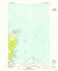
1954 · Afognak C-1 and C-2
USGS Topo · 1:63,360
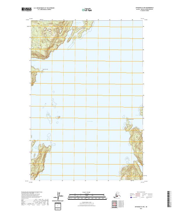
2021 · Afognak B-2 NE
USGS Topo · 1:25,000
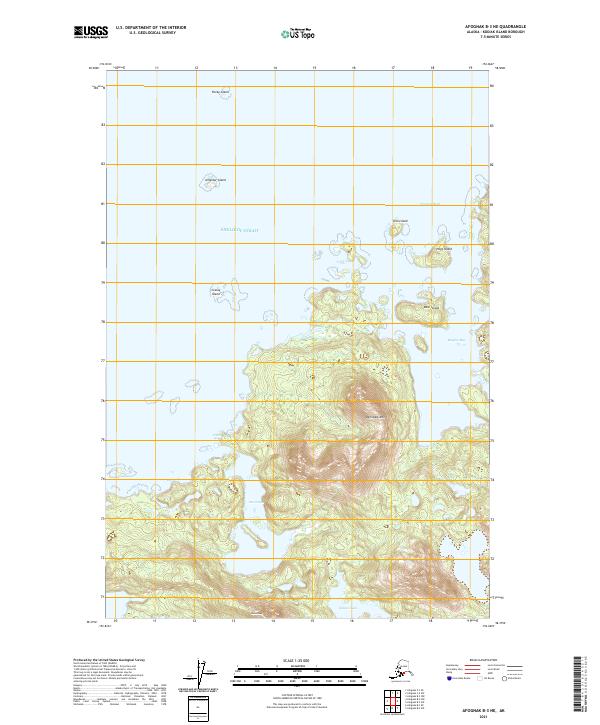
2021 · Afognak B-3 NE
USGS Topo · 1:25,000
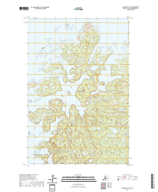
2021 · Afognak C-2 SW
USGS Topo · 1:25,000