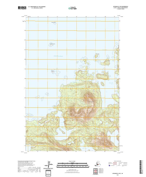
2021 Map of Afognak B-3 NE
USGS Topo · Published 2021About this map
Devilpaw Mtn dominates this coastal stretch of Kodiak Island, rising sharply above the complex shoreline of the Shelikof Strait. The landscape is defined by its dramatic maritime topography, where protected waters like Devils Bay and Devil Inlet cut deep into the landmass. This 2021 survey illustrates the intricate island network of the region, including Bear Island, Hogg Island, and Teck Island, which shelter Bluefox Bay from the open strait. To the south, the terrain continues to rise toward Dome Peak and hides the inland Hidden Lake. The lack of road infrastructure and human settlements on this sheet highlights the wilderness character of the Afognak area, where navigation and geography are dictated by the tide and the peaks.
Find a feature on this map
19 named features on this map. Tap any name to fly to it.
Don’t see what you’re looking for? This feature index may not catch every label — zoom into the map to look around manually.
Map Details
Editions of this 2021 Afognak B-3 NE Map
This is the sole edition of this map. No revisions or reprints were ever made.
Other maps of this area

1952 · Afognak
USGS Topo · 1:250,000
1952 · Afognak C-2 and C-3
USGS Topo · 1:63,360

1952 · Afognak B-2
USGS Topo · 1:63,360

1954 · Afognak B-3
USGS Topo · 1:63,360
1954 · Afognak C-2 and C-3
USGS Topo · 1:63,360

1954 · Afognak B-2
USGS Topo · 1:63,360
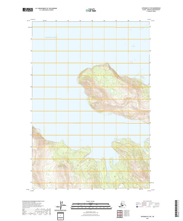
2021 · Afognak B-3 SW
USGS Topo · 1:25,000
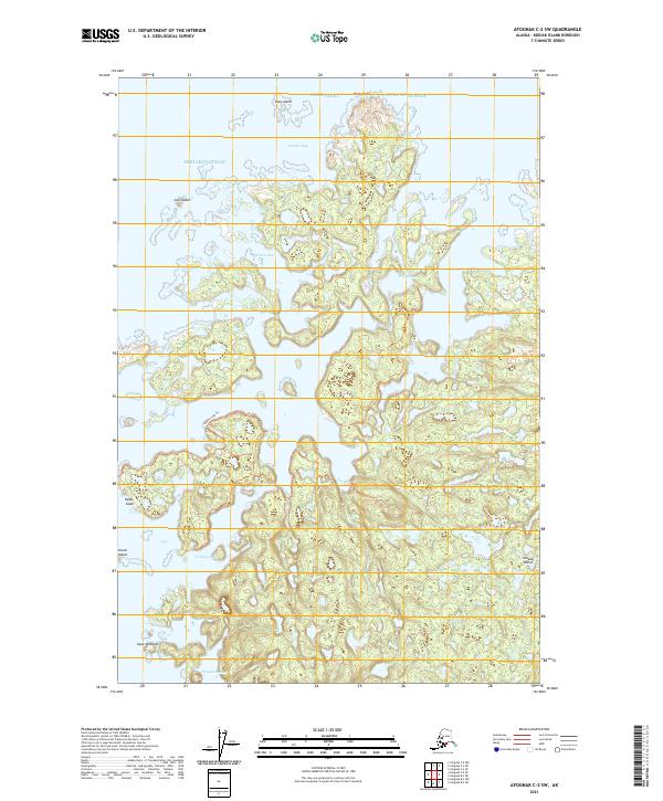
2021 · Afognak C-2 SW
USGS Topo · 1:25,000
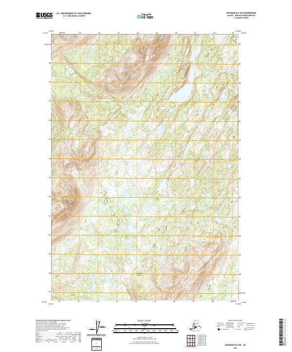
2021 · Afognak B-2 SW
USGS Topo · 1:25,000
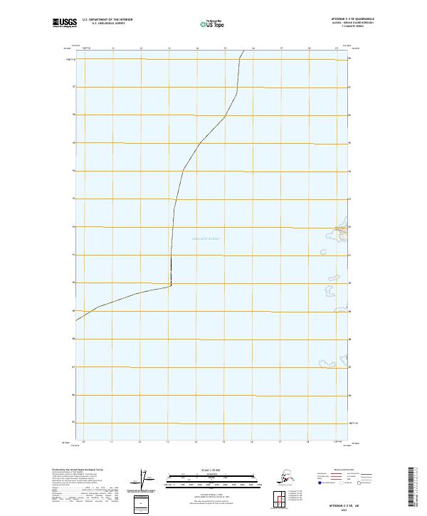
2021 · Afognak C-3 SE
USGS Topo · 1:25,000