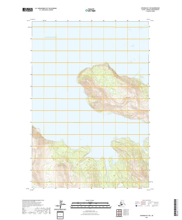
2021 Map of Afognak B-3 SW
USGS Topo · Published 2021About this map
Ban Island dominates the central topography of this coastal survey, situated within the remote waters of the Shelikof Strait. The landform is nearly bisected by the deep indentation of Paramanof Bay to the south, while the northern coastline is defined by the smaller inlet of Foul Bay. This map illustrates a landscape of extreme vertical relief, where steep slopes rise abruptly from the shoreline to high interior ridges. The absence of roads or established settlements emphasizes the wilderness character of the region, where transportation is dictated entirely by maritime access and the protected natural harbors found along the convoluted coastline of the Kodiak Archipelago.
Find a feature on this map
8 named features on this map. Tap any name to fly to it.
Don’t see what you’re looking for? This feature index may not catch every label — zoom into the map to look around manually.
Map Details
Editions of this 2021 Afognak B-3 SW Map
This is the sole edition of this map. No revisions or reprints were ever made.
Other maps of this area

1952 · Afognak
USGS Topo · 1:250,000

1952 · Afognak A-4
USGS Topo · 1:63,360

1952 · Afognak A-3
USGS Topo · 1:63,360
1952 · Afognak B-4
USGS Topo · 1:63,360

1953 · Afognak A-4
USGS Topo · 1:63,360

1954 · Afognak B-3
USGS Topo · 1:63,360
1954 · Afognak B-4
USGS Topo · 1:63,360
1954 · Afognak A-3
USGS Topo · 1:63,360
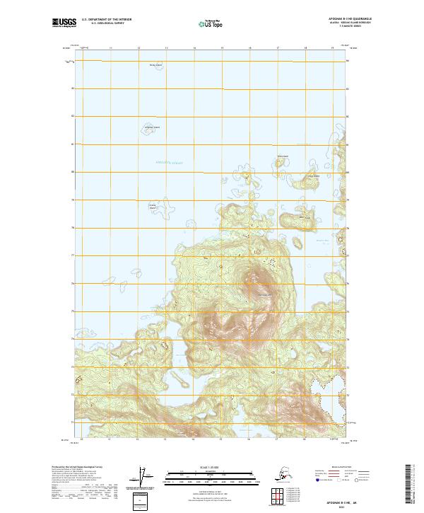
2021 · Afognak B-3 NE
USGS Topo · 1:25,000
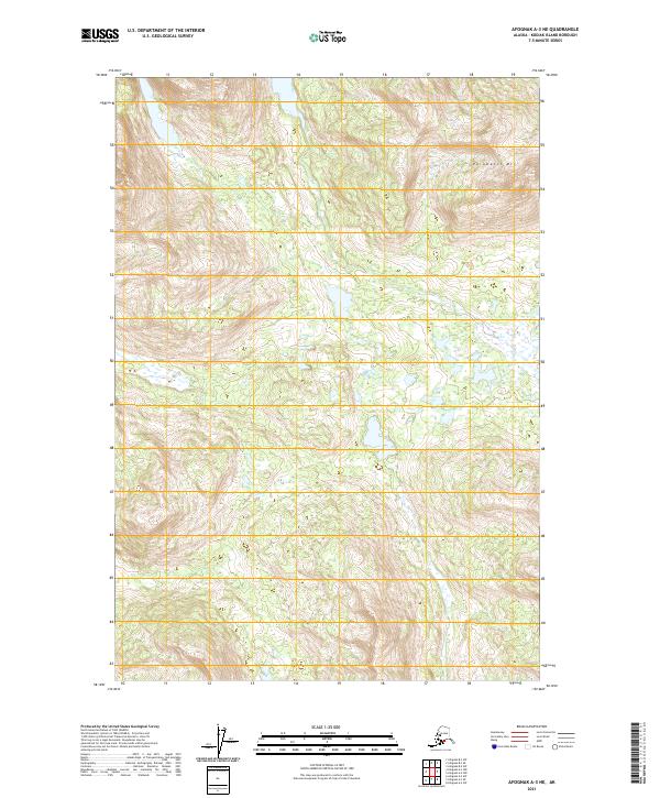
2021 · Afognak A-3 NE
USGS Topo · 1:25,000