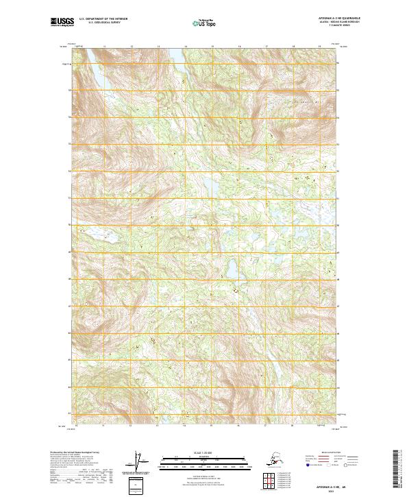
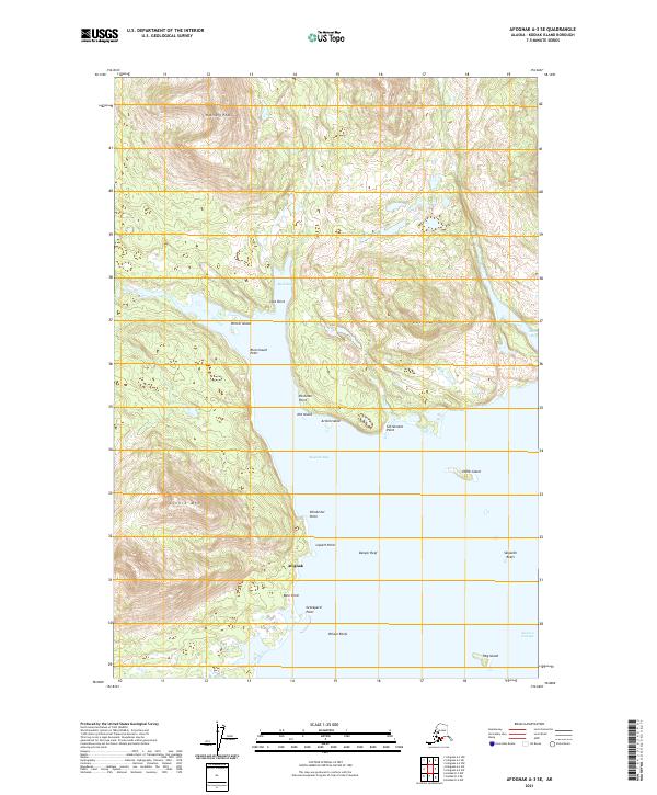
2021 Map of Afognak A-3 NE
USGS Topo · Published 2021About this map
Paramanof Mtn dominates the northeastern corner of this remote Alaskan landscape on Kodiak Island, rising above a vast system of wetlands and glacial valleys. This 2021 survey illustrates a region largely defined by its natural drainage patterns and the Public Land Survey System grids of t22s r22w, t22s r21w, and surrounding townships. The area is characterized by high-elevation peaks transitioning into a network of small lakes and marshes, showing no established road infrastructure or permanent settlements within the quadrangle boundaries. This data provides a baseline for understanding the unchanged topography of the island's interior, useful for tracing the physical environment as it exists today.
Find a feature on this map
7 named features on this map. Tap any name to fly to it.
Don’t see what you’re looking for? This feature index may not catch every label — zoom into the map to look around manually.
Map Details
Editions of this 2021 Afognak A-3 NE Map
This is the sole edition of this map. No revisions or reprints were ever made.
Other maps of this area

1952 · Afognak
USGS Topo · 1:250,000

1952 · Afognak A-3
USGS Topo · 1:63,360

1952 · Afognak A-2
USGS Topo · 1:63,360

1952 · Afognak B-2
USGS Topo · 1:63,360

1954 · Afognak B-3
USGS Topo · 1:63,360

1954 · Afognak B-2
USGS Topo · 1:63,360
1954 · Afognak A-2
USGS Topo · 1:63,360
1954 · Afognak A-3
USGS Topo · 1:63,360
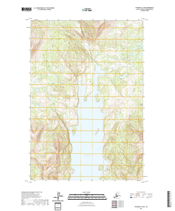
2021 · Afognak A-2 NW
USGS Topo · 1:25,000
2021 · Afognak A-3 SE
USGS Topo · 1:25,000