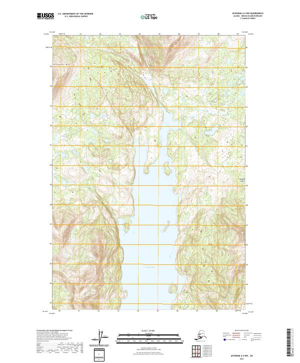
2021 Map of Afognak A-2 NW
USGS Topo · Published 2021About this map
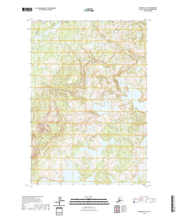
Kazakof Bay dominates this coastal landscape on Afognak Island, cutting deep into the mountainous terrain of the Kodiak Archipelago. The interior is defined by sharp elevation changes, notably at Paramanof Mtn in the northwest, where steep ridges fall away toward the water. This 2021 survey by the U.S. Geological Survey illustrates a wilderness largely untouched by development, showing the complex shoreline and the numerous small ponds and wetland areas that characterize the island's low-lying drainages. The map records the precise Public Land Survey System boundaries, including t23s r20w and surrounding townships, which organize this remote coastal reach.
Find a feature on this map
9 named features on this map. Tap any name to fly to it.
Don’t see what you’re looking for? This feature index may not catch every label — zoom into the map to look around manually.
Map Details
Editions of this 2021 Afognak A-2 NW Map
This is the sole edition of this map. No revisions or reprints were ever made.
Other maps of this area

1952 · Afognak
USGS Topo · 1:250,000

1952 · Afognak A-3
USGS Topo · 1:63,360

1952 · Afognak A-2
USGS Topo · 1:63,360

1952 · Afognak B-2
USGS Topo · 1:63,360

1954 · Afognak B-3
USGS Topo · 1:63,360

1954 · Afognak B-2
USGS Topo · 1:63,360
1954 · Afognak A-2
USGS Topo · 1:63,360
1954 · Afognak A-3
USGS Topo · 1:63,360
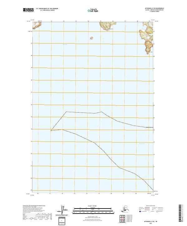
2021 · Afognak A-2 SE
USGS Topo · 1:25,000
2021 · Afognak A-2 NE
USGS Topo · 1:25,000