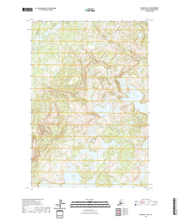
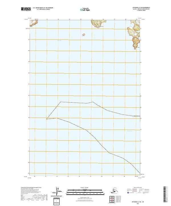
2021 Map of Afognak A-2 NE
USGS Topo · Published 2021About this map
Kitoi Bay and its complex, indented shoreline define the eastern edge of this coastal landscape on Afognak Island. The terrain is dominated by steep coastal elevations, most notably at Duck Mtn, which rises above a series of freshwater bodies including Little Kitoi Lake and Big Kitoi Lake. These lakes are geographically significant as they sit just inland from the saltwater of the bay, illustrating the unique hydrologic transitions common to the Kodiak Archipelago.
Find a feature on this map
12 named features on this map. Tap any name to fly to it.
Don’t see what you’re looking for? This feature index may not catch every label — zoom into the map to look around manually.
Map Details
Editions of this 2021 Afognak A-2 NE Map
This is the sole edition of this map. No revisions or reprints were ever made.
Other maps of this area

1952 · Afognak
USGS Topo · 1:250,000

1952 · Afognak A-1
USGS Topo · 1:63,360

1952 · Afognak A-2
USGS Topo · 1:63,360

1952 · Afognak B-2
USGS Topo · 1:63,360

1952 · Afognak B-1
USGS Topo · 1:63,360
1953 · Afognak A-1
USGS Topo · 1:63,360

1954 · Afognak B-2
USGS Topo · 1:63,360
1954 · Afognak A-2
USGS Topo · 1:63,360
1954 · Afognak B-1
USGS Topo · 1:63,360
2021 · Afognak A-2 SE
USGS Topo · 1:25,000