
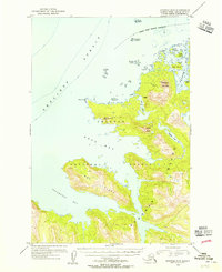
1954 Map of Afognak B-3
USGS Topo · Published 1955About this map
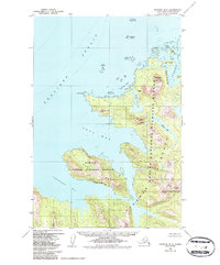
Afognak Island and Ban Island define this coastal landscape on the edge of the Shelikof Strait in the mid-1950s. The area is dominated by the steep elevations of Devilpaw Mountain and Dome Peak, highlighting a coastline deeply indented by glacial or maritime forces. Within the Chugach National Forest, the map identifies a solitary Cabin near Devil Inlet, suggesting the extreme isolation of this maritime wilderness. The intricate shoreline features numerous small islands such as Teck Island, Hogg Island, and Bear Island tucked within Bluefox Bay. This survey captures the topographical complexity of the archipelago, from the treacherous waters of Foul Bay to the interior waters of Hidden Lake and the coastal marshes of Esther Lagoon.
Find a feature on this map
23 named features on this map. Tap any name to fly to it.
Don’t see what you’re looking for? This feature index may not catch every label — zoom into the map to look around manually.
Map Details
Editions of this 1954 Afognak B-3 Map
3 editions found
Other maps of this area

1952 · Afognak
USGS Topo · 1:250,000

1952 · Afognak A-4
USGS Topo · 1:63,360

1952 · Afognak A-3
USGS Topo · 1:63,360

1952 · Afognak A-2
USGS Topo · 1:63,360
1952 · Afognak C-2 and C-3
USGS Topo · 1:63,360

1952 · Afognak B-2
USGS Topo · 1:63,360
1952 · Afognak B-4
USGS Topo · 1:63,360

1953 · Afognak A-4
USGS Topo · 1:63,360
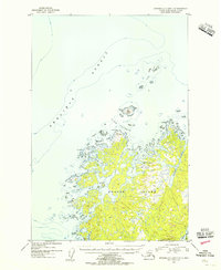
1954 · Afognak C-2 and C-3
USGS Topo · 1:63,360
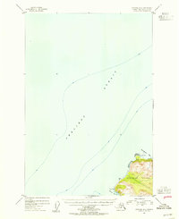
1954 · Afognak B-4
USGS Topo · 1:63,360