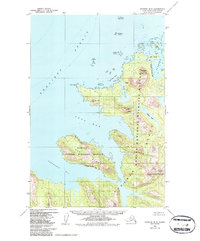
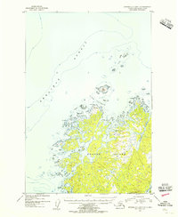
1954 Map of Afognak B-3
USGS Topo · Published 1987About this map
Kodiak National Wildlife Refuge boundaries define this coastal expanse of the Kodiak Archipelago, where the interior peaks of Kodiak Island and Afognak Island meet the complex shorelines of the Shelikof Strait. The topography is dominated by high-elevation landmarks such as Devilpaw Mountain and Dome Peak, which overlook a deeply recessed coastline featuring Devils Bay, Foul Bay, and Blue Fox Bay.
Find a feature on this map
25 named features on this map. Tap any name to fly to it.
Don’t see what you’re looking for? This feature index may not catch every label — zoom into the map to look around manually.
Map Details
Editions of this 1954 Afognak B-3 Map
3 editions found
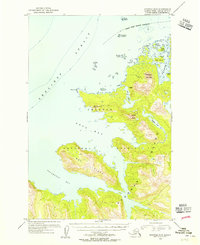
Other maps of this area

1952 · Afognak
USGS Topo · 1:250,000

1952 · Afognak A-4
USGS Topo · 1:63,360

1952 · Afognak A-3
USGS Topo · 1:63,360

1952 · Afognak A-2
USGS Topo · 1:63,360
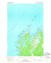
1952 · Afognak C-2 and C-3
USGS Topo · 1:63,360

1952 · Afognak B-2
USGS Topo · 1:63,360
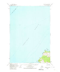
1952 · Afognak B-4
USGS Topo · 1:63,360

1953 · Afognak A-4
USGS Topo · 1:63,360

1954 · Afognak B-3
USGS Topo · 1:63,360
1954 · Afognak C-2 and C-3
USGS Topo · 1:63,360