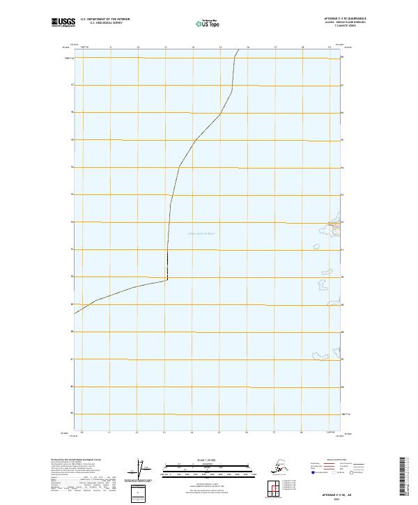
2021 Map of Afognak C-3 SE
USGS Topo · Published 2021About this map
Shelikof Strait dominates this maritime survey of the northern reaches of the Kodiak Archipelago. The map provides a focused look at the waters between the Alaska Peninsula and the islands, specifically capturing the western edge of Shuyak Island. The coastal profile here is characterized by a series of small, unnamed islets and rugged shorelines that define the transition from open sea to the sheltered passages of the island's west coast.
Find a feature on this map
4 named features on this map. Tap any name to fly to it.
Don’t see what you’re looking for? This feature index may not catch every label — zoom into the map to look around manually.
Map Details
Editions of this 2021 Afognak C-3 SE Map
This is the sole edition of this map. No revisions or reprints were ever made.
Other maps of this area

1952 · Afognak
USGS Topo · 1:250,000
1952 · Afognak C-2 and C-3
USGS Topo · 1:63,360

1952 · Afognak B-2
USGS Topo · 1:63,360

1954 · Afognak B-3
USGS Topo · 1:63,360
1954 · Afognak C-2 and C-3
USGS Topo · 1:63,360

1954 · Afognak B-2
USGS Topo · 1:63,360
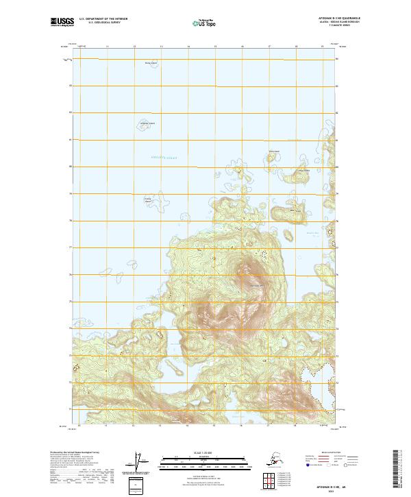
2021 · Afognak B-3 NE
USGS Topo · 1:25,000
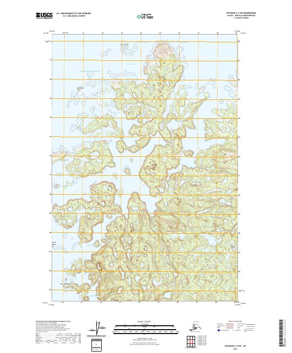
2021 · Afognak C-2 SW
USGS Topo · 1:25,000
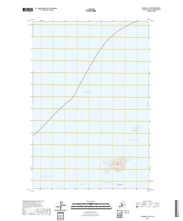
2021 · Afognak C-2 NW
USGS Topo · 1:25,000
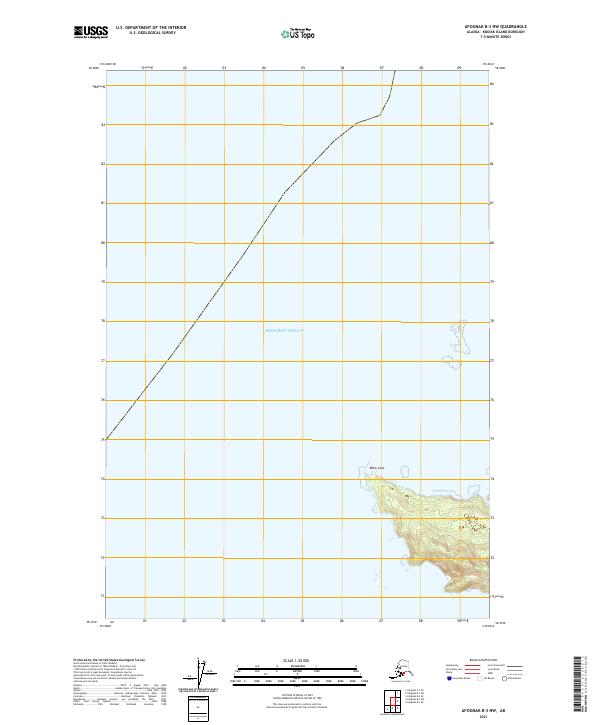
2021 · Afognak B-3 NW
USGS Topo · 1:25,000