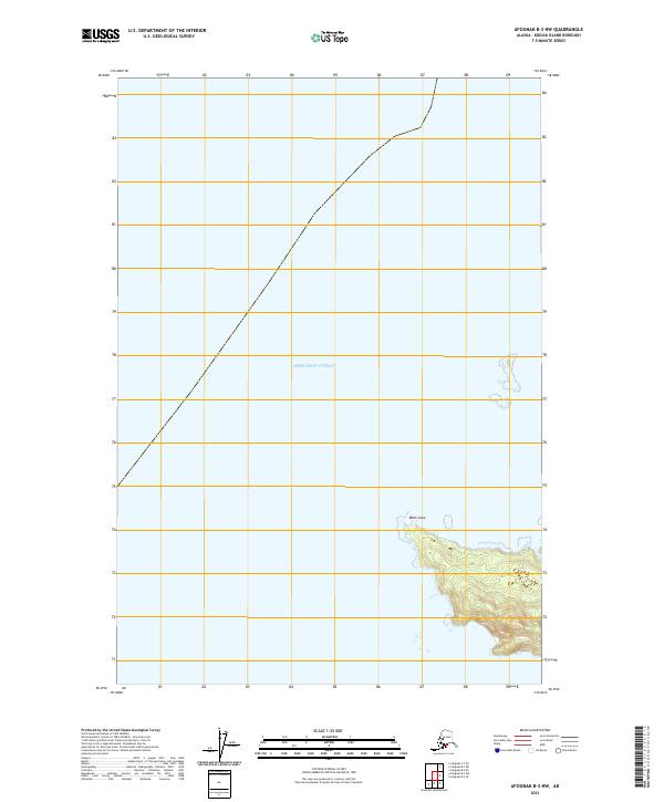
2021 Map of Afognak B-3 NW
USGS Topo · Published 2021About this map
Shelikof Strait dominates this maritime survey, illustrating the vast expanse of water that separates the Alaska Peninsula from the Kodiak Archipelago. The shoreline is punctuated by Black Cape, a prominent topographic protrusion that serves as a critical navigational landmark along the southwestern edge of the map. This 2021 edition provides a clear record of the coastal contours and bathymetric transitions where the land meets the strait. The inland areas, while largely unpopulated, are defined by the Public Land Survey System grid, including the boundaries for t20s r22w, t21s r22w, and t21s r23w. The map emphasizes the island's coastal geography and the isolation of its maritime reaches, offering an essential reference for understanding the modern topographic state of this section of Kodiak Island.
Find a feature on this map
5 named features on this map. Tap any name to fly to it.
Don’t see what you’re looking for? This feature index may not catch every label — zoom into the map to look around manually.
Map Details
Editions of this 2021 Afognak B-3 NW Map
This is the sole edition of this map. No revisions or reprints were ever made.
Other maps of this area

1952 · Afognak
USGS Topo · 1:250,000
1952 · Afognak B-4
USGS Topo · 1:63,360

1954 · Afognak B-3
USGS Topo · 1:63,360
1954 · Afognak B-4
USGS Topo · 1:63,360
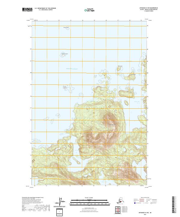
2021 · Afognak B-3 NE
USGS Topo · 1:25,000
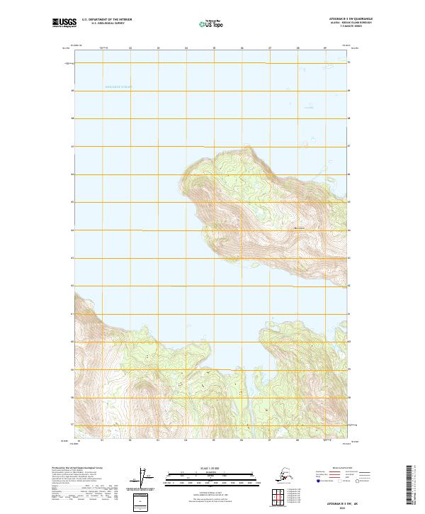
2021 · Afognak B-3 SW
USGS Topo · 1:25,000
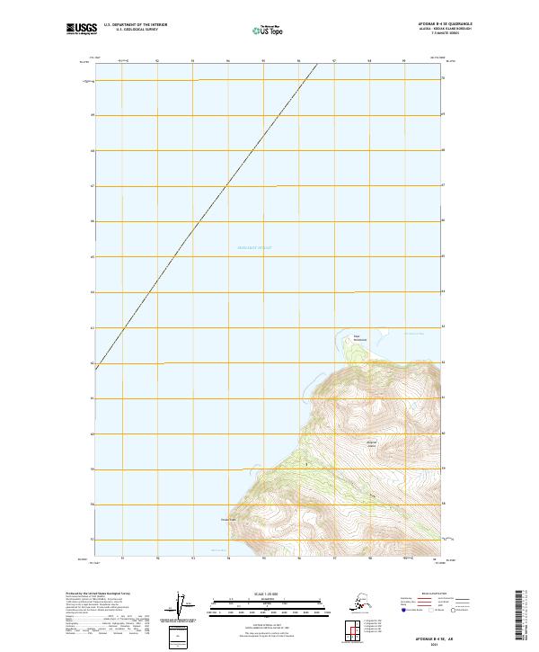
2021 · Afognak B-4 SE
USGS Topo · 1:25,000
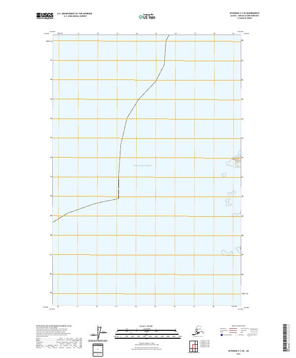
2021 · Afognak C-3 SE
USGS Topo · 1:25,000
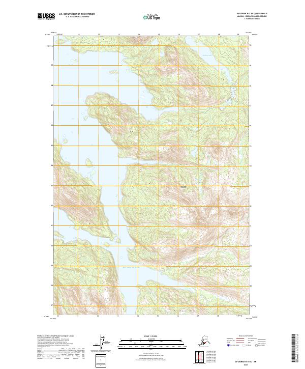
2021 · Afognak B-3 SE
USGS Topo · 1:25,000