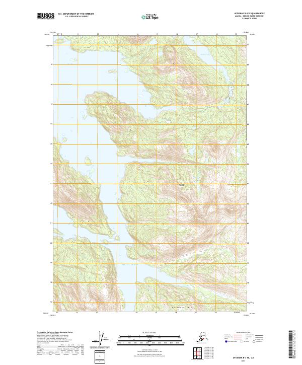
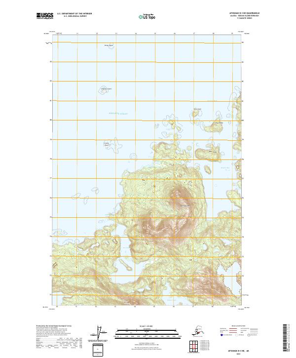
2021 Map of Afognak B-3 SE
USGS Topo · Published 2021About this map
Afognak Island terrain dominates this coastal region of Alaska, characterized by significant elevation changes from the shoreline of the Pacific Ocean to prominent peaks. The map details the northern and central highlands of the island, including the high point at Dome Peak and the southern slopes of Paramanof Mtn. This landscape is marked by interior water bodies such as Hidden Lake, which sits tucked into the northeastern ridges. The absence of roads or established settlements emphasizes the wilderness character of the island, which is organized primarily by township and range lines across sectors like t21s r21w and t22s r22w. The topography reflects a glacially influenced geography where narrow valleys descend sharply into the surrounding ocean waters.
Find a feature on this map
9 named features on this map. Tap any name to fly to it.
Don’t see what you’re looking for? This feature index may not catch every label — zoom into the map to look around manually.
Map Details
Editions of this 2021 Afognak B-3 SE Map
This is the sole edition of this map. No revisions or reprints were ever made.
Other maps of this area

1952 · Afognak
USGS Topo · 1:250,000

1952 · Afognak A-3
USGS Topo · 1:63,360

1952 · Afognak A-2
USGS Topo · 1:63,360

1952 · Afognak B-2
USGS Topo · 1:63,360

1954 · Afognak B-3
USGS Topo · 1:63,360

1954 · Afognak B-2
USGS Topo · 1:63,360
1954 · Afognak A-2
USGS Topo · 1:63,360
1954 · Afognak A-3
USGS Topo · 1:63,360
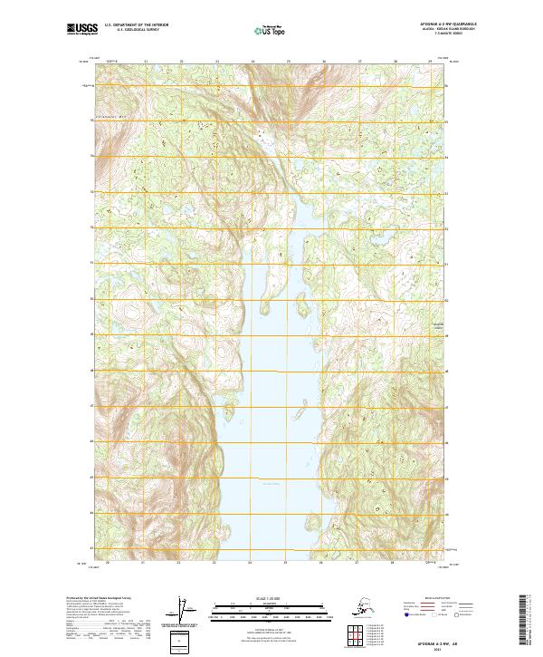
2021 · Afognak A-2 NW
USGS Topo · 1:25,000
2021 · Afognak B-3 NE
USGS Topo · 1:25,000