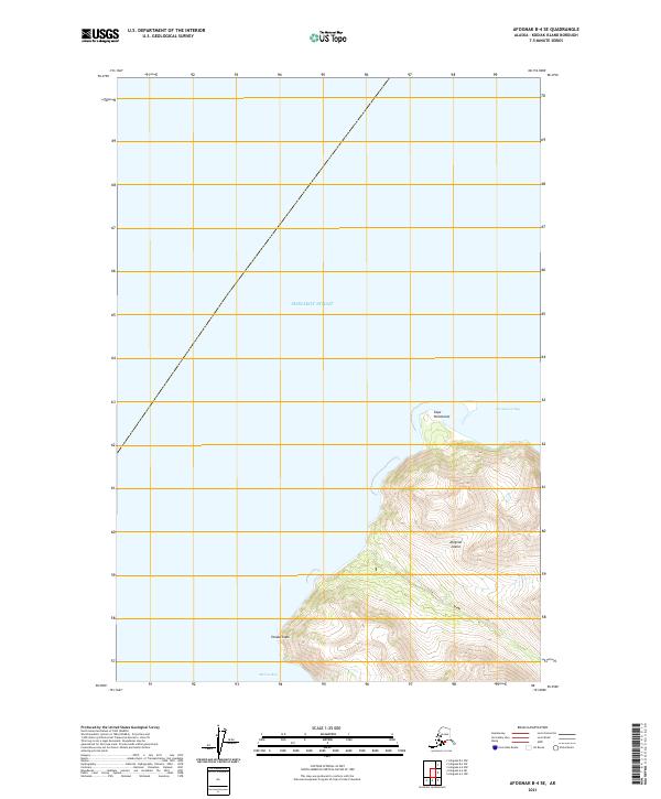
2021 Map of Afognak B-4 SE
USGS Topo · Published 2021About this map
Afognak Island meets the open waters of the Shelikof Strait in this coastal study of the Kodiak Archipelago. The terrain is defined by dramatic maritime boundaries, where Cape Paramanof separates the northern reaches from the deep indentation of Paramanof Bay. Further south, the coast extends to Tanaak Cape, which serves as a prominent landmark at the entrance to Malina Bay. This landscape is characterized by its isolation and lack of developed infrastructure, reflecting a wilderness state where topographic contours and tidal inlets are the primary features of interest. The map documents the relationship between these sharp capes and the protected bays that have long provided shelter for mariners navigating the strait.
Find a feature on this map
8 named features on this map. Tap any name to fly to it.
Don’t see what you’re looking for? This feature index may not catch every label — zoom into the map to look around manually.
Map Details
Editions of this 2021 Afognak B-4 SE Map
This is the sole edition of this map. No revisions or reprints were ever made.
Other maps of this area

1952 · Afognak
USGS Topo · 1:250,000

1952 · Afognak A-4
USGS Topo · 1:63,360

1952 · Afognak A-3
USGS Topo · 1:63,360
1952 · Afognak B-4
USGS Topo · 1:63,360

1953 · Afognak A-4
USGS Topo · 1:63,360

1954 · Afognak B-3
USGS Topo · 1:63,360
1954 · Afognak B-4
USGS Topo · 1:63,360
1954 · Afognak A-3
USGS Topo · 1:63,360
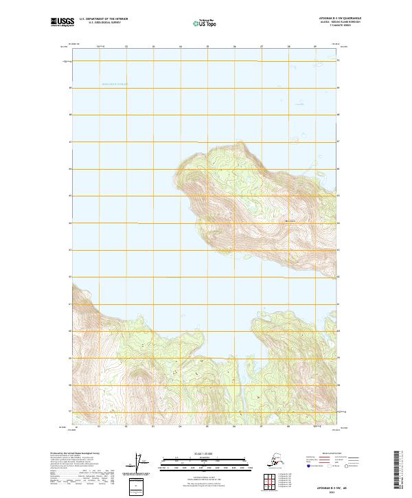
2021 · Afognak B-3 SW
USGS Topo · 1:25,000
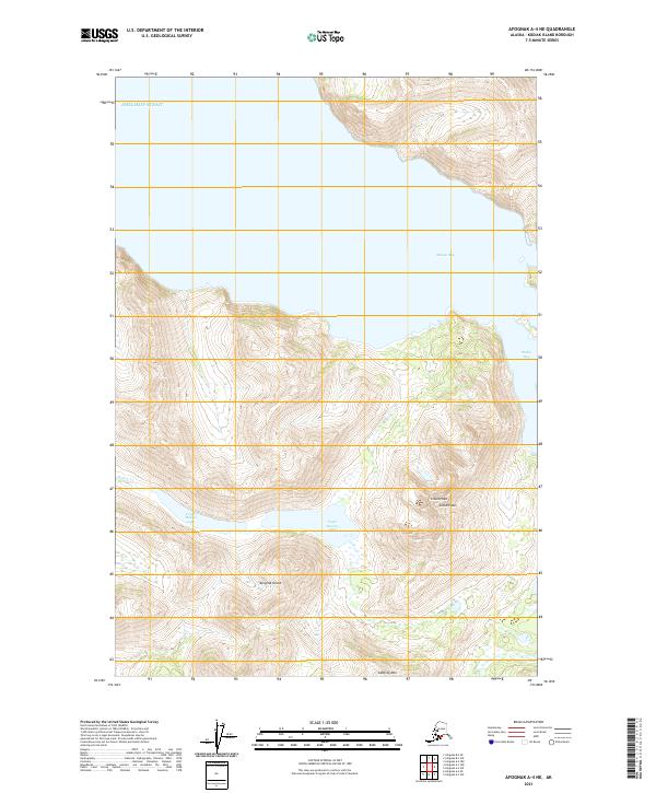
2021 · Afognak A-4 NE
USGS Topo · 1:25,000