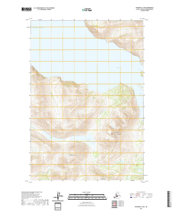
2021 Map of Afognak A-4 NE
USGS Topo · Published 2021About this map
Afognak Island reveals its steep, glacially carved profile along the eastern edge of the Shelikof Strait. This portion of the archipelago is defined by a series of dramatic freshwater and saltwater intersections, most notably where Malina Cr drains a chain of interior basins including Upper Malina Lake and Lower Malina Lake. The topography is punctuated by high elevations like Cloud Peak and Godfrey Mtn, which overlook the deep indentation of Malina Bay. The map illustrates the island’s wilderness character at the start of the 2020s, showing a landscape shaped by hydrology and elevation rather than human infrastructure, as evidenced by the lack of roads or established settlements in this specific coastal quadrant.
Find a feature on this map
13 named features on this map. Tap any name to fly to it.
Don’t see what you’re looking for? This feature index may not catch every label — zoom into the map to look around manually.
Map Details
Editions of this 2021 Afognak A-4 NE Map
This is the sole edition of this map. No revisions or reprints were ever made.
Other maps of this area

1952 · Afognak
USGS Topo · 1:250,000

1952 · Afognak A-4
USGS Topo · 1:63,360

1952 · Afognak A-3
USGS Topo · 1:63,360
1952 · Afognak B-4
USGS Topo · 1:63,360

1953 · Afognak A-4
USGS Topo · 1:63,360

1954 · Afognak B-3
USGS Topo · 1:63,360
1954 · Afognak B-4
USGS Topo · 1:63,360
1954 · Afognak A-3
USGS Topo · 1:63,360
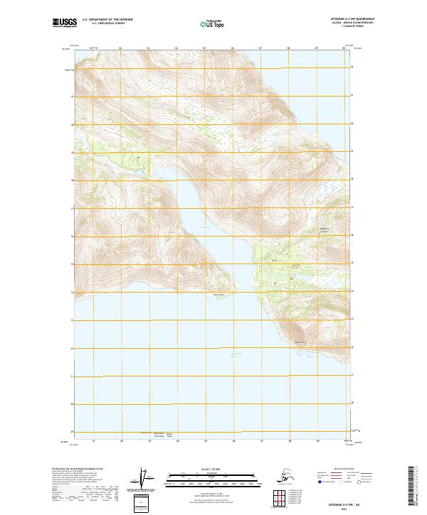
2021 · Afognak A-4 SW
USGS Topo · 1:25,000
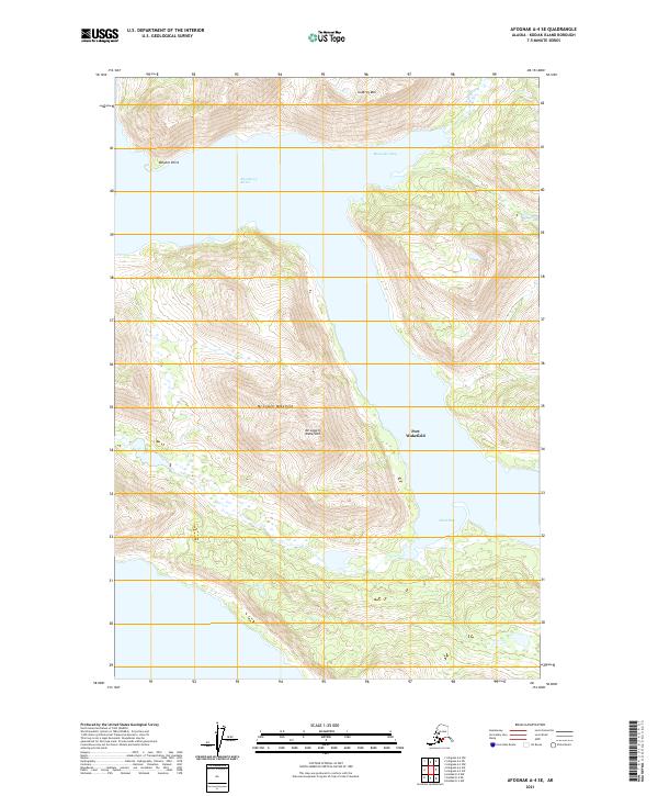
2021 · Afognak A-4 SE
USGS Topo · 1:25,000