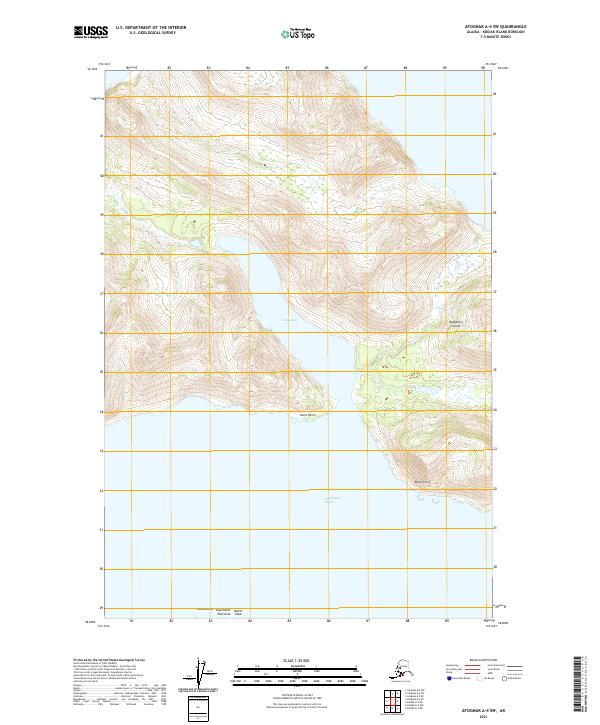
2021 Map of Afognak A-4 SW
USGS Topo · Published 2021About this map
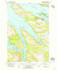
Raspberry Island and the rugged northern reaches of the Kupreanof Peninsula dominate this coastal survey. The narrow waters of Kupreanof Strait separate these landmasses, creating a complex shoreline of points and sheltered waters. Onion Bay carves deeply into the peninsula, while the high relief of the surrounding terrain is marked by prominent coastal features like Ustia Point and Bukti Point. The landscape reflects a maritime environment where navigation and shoreline topography are the primary geographic markers, evidenced by the presence of Laida Rocks and the sharp turn of Outlet Cape at the southwestern edge. The lack of inland infrastructure highlights the maritime isolation of these islands in the Kodiak Archipelago.
Find a feature on this map
13 named features on this map. Tap any name to fly to it.
Don’t see what you’re looking for? This feature index may not catch every label — zoom into the map to look around manually.
Map Details
Editions of this 2021 Afognak A-4 SW Map
This is the sole edition of this map. No revisions or reprints were ever made.
Other maps of this area

1952 · Kodiak
USGS Topo · 1:250,000

1952 · Afognak
USGS Topo · 1:250,000

1952 · Afognak A-4
USGS Topo · 1:63,360

1952 · Kodiak D-5
USGS Topo · 1:63,360
1952 · Afognak A-5
USGS Topo · 1:63,360

1952 · Kodiak D-4
USGS Topo · 1:63,360

1953 · Afognak A-4
USGS Topo · 1:63,360
1953 · Afognak A-5
USGS Topo · 1:63,360
1954 · Kodiak D-5
USGS Topo · 1:63,360
1954 · Kodiak D-4
USGS Topo · 1:63,360