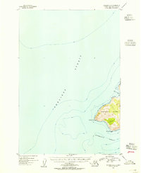
1953 Map of Afognak A-5
USGS Topo · Published 1955About this map
Raspberry Island and the surrounding maritime passages define this 1953 survey of the Kodiak archipelago. Situated at the convergence of the Shelikof Strait and Kupreanof Strait, the map highlights the western coastline of the island as it appeared shortly after the war. The topography, mapped via aerial photography, reveals the high ridges and steep coastal bluffs that drop into the Pacific. Navigational markers like Malina 2 Light at Malina Point and the prominent Raspberry Cape illustrate the importance of these waters for local shipping and fishing fleets. The northern coast is indented by Driver Bay, providing a look at the natural harbors used by mariners navigating between the mainland and the larger islands of the Gulf of Alaska.
Find a feature on this map
7 named features on this map. Tap any name to fly to it.
Don’t see what you’re looking for? This feature index may not catch every label — zoom into the map to look around manually.
Map Details
Editions of this 1953 Afognak A-5 Map
This is the sole edition of this map. No revisions or reprints were ever made.
Other maps of this area

1951 · Kodiak D-6
USGS Topo · 1:63,360

1952 · Kodiak
USGS Topo · 1:250,000

1952 · Afognak
USGS Topo · 1:250,000

1952 · Afognak A-4
USGS Topo · 1:63,360

1952 · Kodiak D-5
USGS Topo · 1:63,360
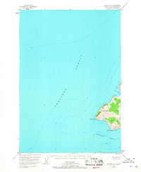
1952 · Afognak A-5
USGS Topo · 1:63,360

1952 · Kodiak D-4
USGS Topo · 1:63,360
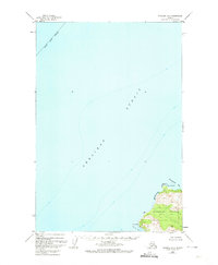
1952 · Afognak B-4
USGS Topo · 1:63,360

1953 · Afognak A-4
USGS Topo · 1:63,360
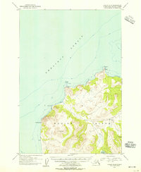
1954 · Kodiak D-6
USGS Topo · 1:63,360