
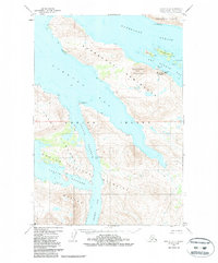
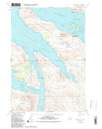
1952 Map of Kodiak D-4
USGS Topo · Published 1972About this map
The maritime industrial landscape of western Kodiak Island is defined by the sheltered waters of Viekoda Bay and the narrow Uganik Passage. This 1952 survey highlights the critical infrastructure of the era's fishing industry, notably the Port Bailey Cannery and its adjacent Seaplane Base, which served as vital links for remote transport and processing. The map captures a moment when coastal activities were concentrated near deep-water inlets, with scattered Cabins and a lone Mine suggesting localized resource extraction and seasonal habitation.
Find a feature on this map
27 named features on this map. Tap any name to fly to it.
Don’t see what you’re looking for? This feature index may not catch every label — zoom into the map to look around manually.
Map Details
Editions of this 1952 Kodiak D-4 Map
3 editions found
Other maps of this area

1947 · Kodiak D-3
USGS Topo · 1:63,360

1949 · Kodiak D-3
USGS Topo · 1:63,360

1950 · Kodiak D-3
USGS Topo · 1:63,360

1952 · Kodiak
USGS Topo · 1:250,000

1952 · Afognak
USGS Topo · 1:250,000

1952 · Kodiak C-3
USGS Topo · 1:63,360

1952 · Afognak A-4
USGS Topo · 1:63,360

1952 · Kodiak C-4
USGS Topo · 1:63,360

1952 · Kodiak C-5
USGS Topo · 1:63,360

1952 · Kodiak D-5
USGS Topo · 1:63,360