
1952 Map of Kodiak C-3
USGS Topo · Published 1964About this map
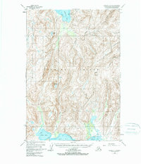
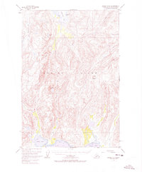
Kodiak National Wildlife Refuge dominates the western portion of this interior Kodiak Island landscape as it was documented in the early 1950s. The terrain is defined by dramatic elevation changes, notably at Crown Mountain and Center Mountain, which overlook a network of glaciated valleys and drainages. The map illustrates a complex coastal and freshwater interface, where the Russian River and Sargent Creek flow through deep-cut topography toward the northern waters of Kizhuyak Bay.
Find a feature on this map
12 named features on this map. Tap any name to fly to it.
Don’t see what you’re looking for? This feature index may not catch every label — zoom into the map to look around manually.
Map Details
Editions of this 1952 Kodiak C-3 Map
3 editions found
Other maps of this area

1947 · Kodiak D-3
USGS Topo · 1:63,360

1949 · Kodiak C-2
USGS Topo · 1:63,360

1949 · Kodiak B-1 and B-2
USGS Topo · 1:63,360

1949 · Kodiak D-2
USGS Topo · 1:63,360

1949 · Kodiak D-3
USGS Topo · 1:63,360

1949 · Kodiak B-3
USGS Topo · 1:63,360

1950 · Kodiak B-3
USGS Topo · 1:63,360

1950 · Kodiak D-3
USGS Topo · 1:63,360

1951 · Kodiak B-1 and B-2
USGS Topo · 1:63,360

1951 · Kodiak D-2
USGS Topo · 1:63,360