
1952 Map of Kodiak C-4
USGS Topo · Published 1966About this map
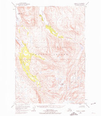
Terror Bay and the surrounding high country of Kodiak Island dominate this mid-century survey, reflecting a landscape defined by its deep fjords and glaciated peaks. The coastal settlement of Port O'Brien appears on the northwestern edge, complete with its Fuel Tanks, serving as a primary point of human activity in an otherwise wild environment. Much of the southern and eastern territory is preserved within the Kodiak National Wildlife Refuge, where the drainage basins of the Uganik River and Terror River carve through the mountains toward the sea.
Find a feature on this map
12 named features on this map. Tap any name to fly to it.
Don’t see what you’re looking for? This feature index may not catch every label — zoom into the map to look around manually.
Map Details
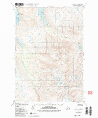
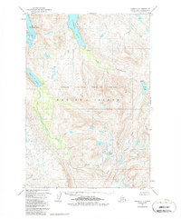
Editions of this 1952 Kodiak C-4 Map
4 editions found
Other maps of this area

1947 · Kodiak D-3
USGS Topo · 1:63,360

1949 · Kodiak D-3
USGS Topo · 1:63,360

1949 · Kodiak B-3
USGS Topo · 1:63,360

1950 · Kodiak B-3
USGS Topo · 1:63,360

1950 · Kodiak D-3
USGS Topo · 1:63,360

1952 · Kodiak
USGS Topo · 1:250,000

1952 · Kodiak C-3
USGS Topo · 1:63,360

1952 · Kodiak C-5
USGS Topo · 1:63,360

1952 · Kodiak D-5
USGS Topo · 1:63,360

1952 · Kodiak B-5
USGS Topo · 1:63,360