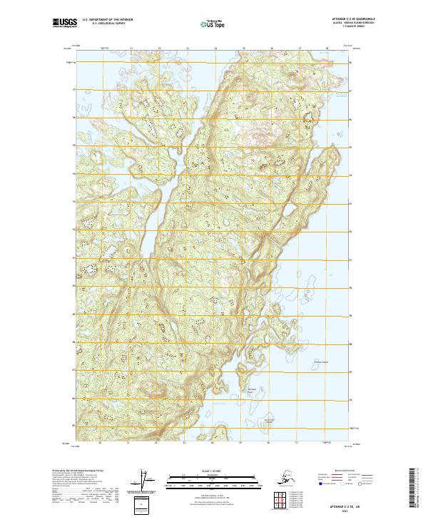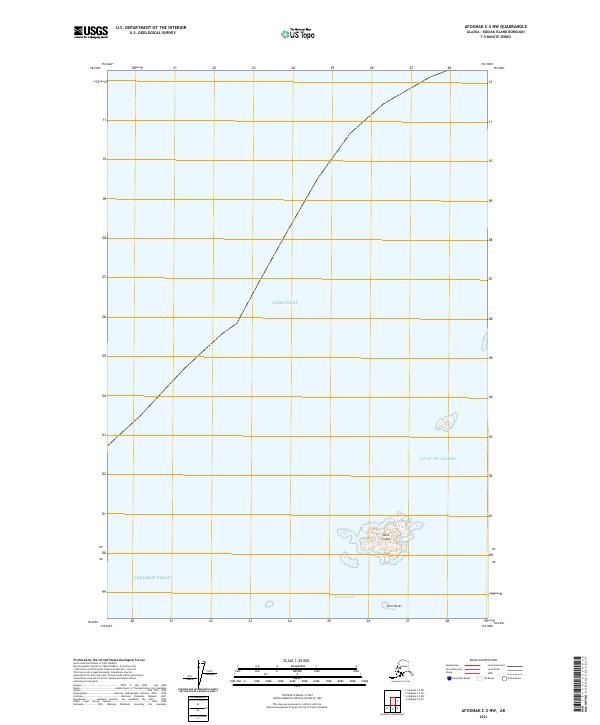
2021 Map of Afognak C-2 NW
USGS Topo · Published 2021About this map
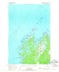
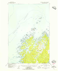
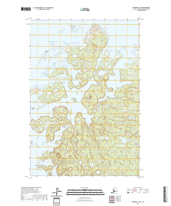
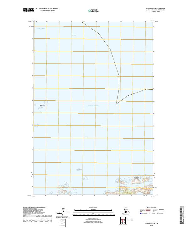
Dark Island and the neighboring Starr Rocks sit within a coastal corridor defined by the transition between the Gulf of Alaska and Shelikof Strait. This maritime-focused survey, produced by the U.S. Geological Survey in 2021, documents the navigational waters of the Dark Passage and the southern reaches of Cook Inlet. The map illustrates the bathymetric and topographic relationship between these small, isolated landmasses and the surrounding marine environment, where land and sea intersect along the Kodiak Island Borough coastline. Without roads or settlements, the map provides a clear record of natural maritime features and nautical boundaries important for northern seafaring.
Find a feature on this map
7 named features on this map. Tap any name to fly to it.
Don’t see what you’re looking for? This feature index may not catch every label — zoom into the map to look around manually.
Map Details
Editions of this 2021 Afognak C-2 NW Map
This is the sole edition of this map. No revisions or reprints were ever made.