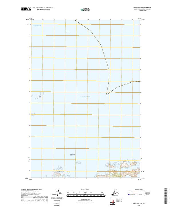
2021 Map of Afognak C-2 NE
USGS Topo · Published 2021About this map
Stevenson Entrance serves as the critical maritime threshold in this coastal survey, where the waters of Cook Inlet meet the Gulf of Alaska. The map focuses on the complex archipelago environment of the northern Kodiak Island region, dominated by jagged hazards and small island clusters. To the south, the Perevalnie Islands are separated from larger landmasses by the narrow Perevalnie Passage, a navigable but intricate waterway for local vessels. Isolated maritime landmarks like Latax Rocks and Shangin Rock stand as significant navigational points in an area defined more by its tidal reach and submerged features than by terrestrial settlement. This 2021 data highlights the enduring importance of coastal topography at Carshan Point for those navigating the northern reaches of the borough.
Find a feature on this map
12 named features on this map. Tap any name to fly to it.
Don’t see what you’re looking for? This feature index may not catch every label — zoom into the map to look around manually.
Map Details
Editions of this 2021 Afognak C-2 NE Map
This is the sole edition of this map. No revisions or reprints were ever made.
Other maps of this area
1951 · Afognak D-1
USGS Topo · 1:63,360

1952 · Afognak
USGS Topo · 1:250,000

1952 · Afognak C-1 and C-2
USGS Topo · 1:63,360
1952 · Afognak C-2 and C-3
USGS Topo · 1:63,360
1954 · Afognak C-2 and C-3
USGS Topo · 1:63,360
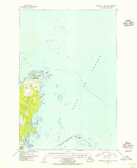
1954 · Afognak C-1 and C-2
USGS Topo · 1:63,360
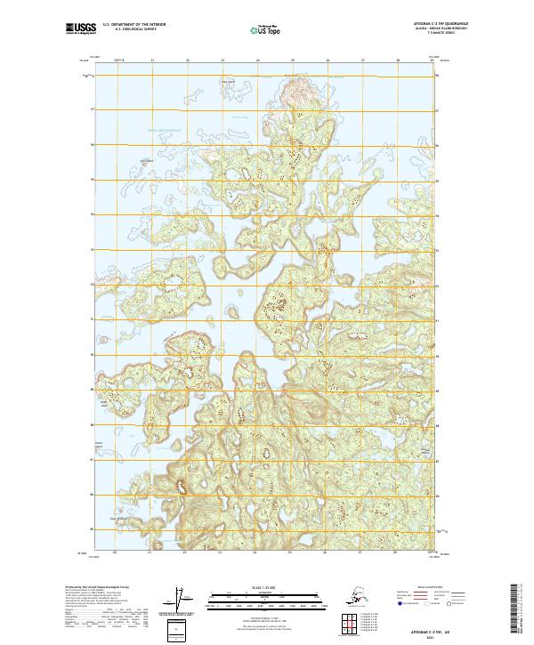
2021 · Afognak C-2 SW
USGS Topo · 1:25,000
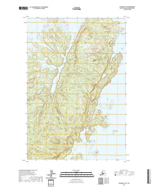
2021 · Afognak C-2 SE
USGS Topo · 1:25,000
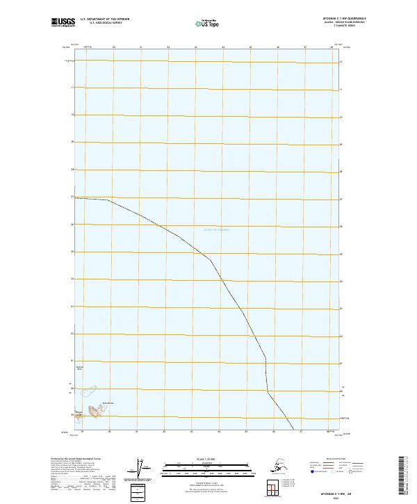
2021 · Afognak C-1 NW
USGS Topo · 1:25,000
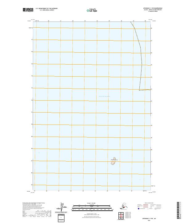
2021 · Afognak C-1 SW
USGS Topo · 1:25,000