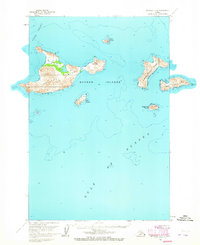
1951 Map of Afognak D-1
USGS Topo · Published 1965About this map
Barren Islands emerge from the meeting point of Cook Inlet and the Gulf of Alaska, documented here from 1951 aerial photography. This maritime landscape is dominated by the steep topography of Ushagat Island and the paired landmasses of West Amatuli Island and East Amatuli I. The survey provides critical hydrographic data and landmark positioning for this isolated archipelago, including the location of a Lighthouse on the easternmost point.
Find a feature on this map
14 named features on this map. Tap any name to fly to it.
Don’t see what you’re looking for? This feature index may not catch every label — zoom into the map to look around manually.
Map Details
Editions of this 1951 Afognak D-1 Map
2 editions found
Other maps of this area

1951 · Seldovia
USGS Topo · 1:250,000

1951 · Seldovia A-6
USGS Topo · 1:63,360

1952 · Afognak
USGS Topo · 1:250,000

1952 · Seldovia A-6
USGS Topo · 1:63,360

1952 · Afognak C-1 and C-2
USGS Topo · 1:63,360
1954 · Afognak C-1 and C-2
USGS Topo · 1:63,360

1963 · Seldovia
USGS Topo · 1:250,000
2021 · Afognak C-2 NE
USGS Topo · 1:25,000
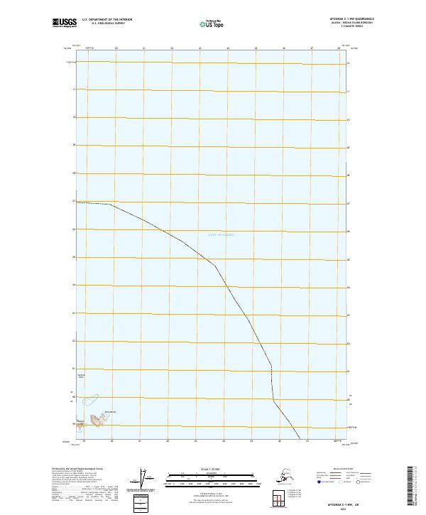
2021 · Afognak C-1 NW
USGS Topo · 1:25,000
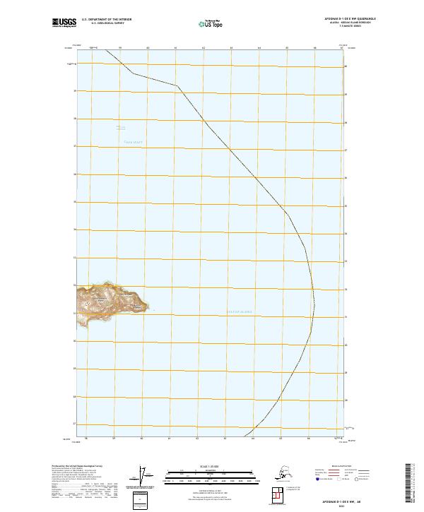
2021 · Afognak D-1 OE E NW
USGS Topo · 1:25,000