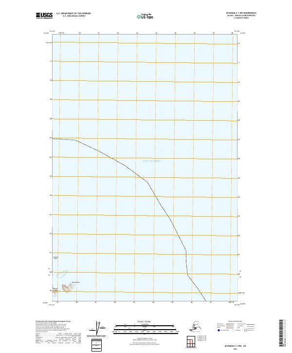
2021 Map of Afognak C-1 NW
USGS Topo · Published 2021About this map
Shuyak Island marks the northernmost extent of the Kodiak Archipelago, where the land meets the vast reach of the Gulf of Alaska. This 2021 survey documents a coastal environment defined by maritime landmarks such as Point Banks and the prominent Sentinel Rock. The map illustrates the legal boundaries of the Public Land Survey System, including t17s r19w and t18s r18w, which define the administrative geography of this maritime frontier. The lack of inland development or infrastructure underscores the preserved natural state of these islands at the entrance to Cook Inlet, serving as a primary record of the shoreline and coastal hazards during the early twenty-first century.
Find a feature on this map
6 named features on this map. Tap any name to fly to it.
Don’t see what you’re looking for? This feature index may not catch every label — zoom into the map to look around manually.
Map Details
Editions of this 2021 Afognak C-1 NW Map
This is the sole edition of this map. No revisions or reprints were ever made.
Other maps of this area
1951 · Afognak D-1
USGS Topo · 1:63,360

1952 · Afognak
USGS Topo · 1:250,000

1952 · Afognak C-1 and C-2
USGS Topo · 1:63,360
1954 · Afognak C-1 and C-2
USGS Topo · 1:63,360
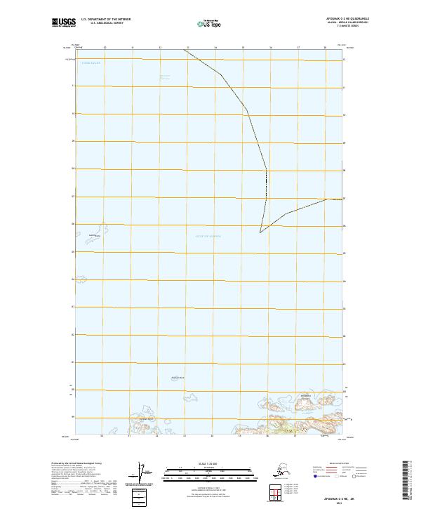
2021 · Afognak C-2 NE
USGS Topo · 1:25,000
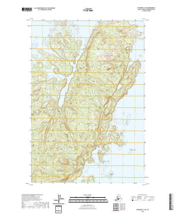
2021 · Afognak C-2 SE
USGS Topo · 1:25,000
2021 · Afognak C-1 SE
USGS Topo · 1:25,000
2021 · Afognak C-1 SW
USGS Topo · 1:25,000