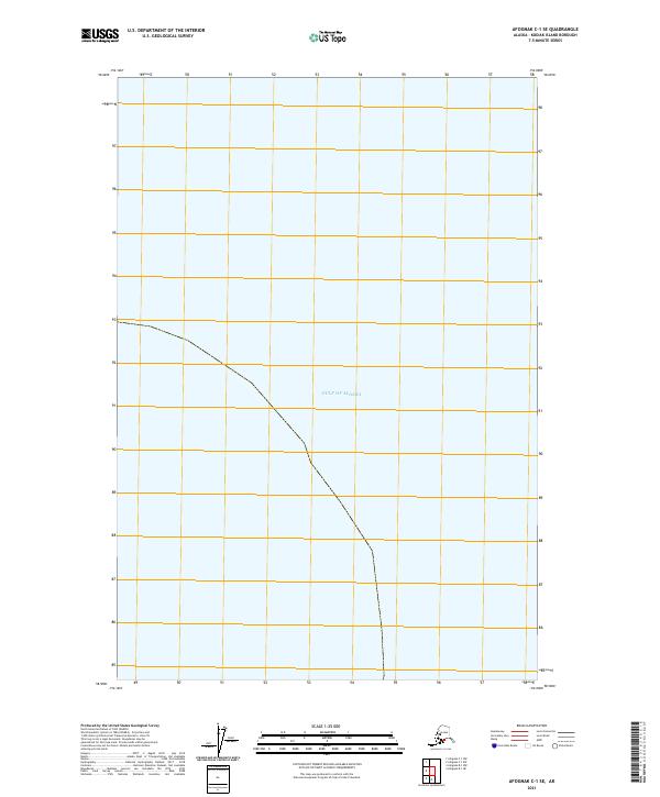
2021 Map of Afognak C-1 SE
USGS Topo · Published 2021About this map
The Gulf of Alaska dominates this coastal maritime survey of the Kodiak Island Borough. This specific reach of the northern Pacific coastline is charted primarily as open water, with the terrestrial portion restricted to a thin strip of shoreline along the western edge of the quadrangle. The map documents the Public Land Survey System coordinates for t18s r18w, providing a precise geographic reference point for this remote island territory. Lacking developed infrastructure, roads, or named settlements, the sheet emphasizes the unpopulated character of the coastline and the expanse of the gulf during the early twenty-first century.
Find a feature on this map
2 named features on this map. Tap any name to fly to it.
Don’t see what you’re looking for? This feature index may not catch every label — zoom into the map to look around manually.
Map Details
Editions of this 2021 Afognak C-1 SE Map
This is the sole edition of this map. No revisions or reprints were ever made.
Other maps of this area

1952 · Afognak
USGS Topo · 1:250,000

1952 · Afognak C-1 and C-2
USGS Topo · 1:63,360

1952 · Afognak B-1
USGS Topo · 1:63,360
1954 · Afognak C-1 and C-2
USGS Topo · 1:63,360
1954 · Afognak B-1
USGS Topo · 1:63,360
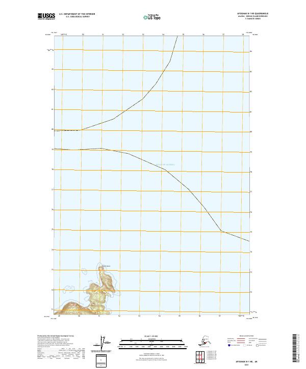
2021 · Afognak B-1 NE
USGS Topo · 1:25,000
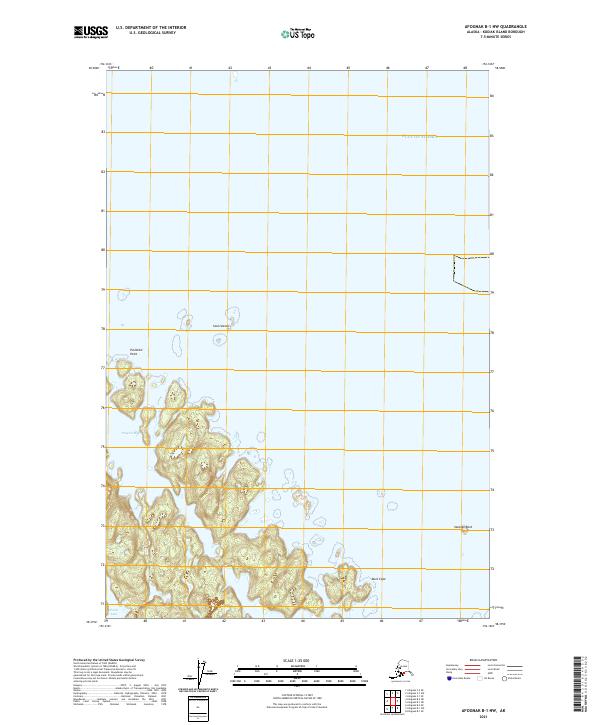
2021 · Afognak B-1 NW
USGS Topo · 1:25,000
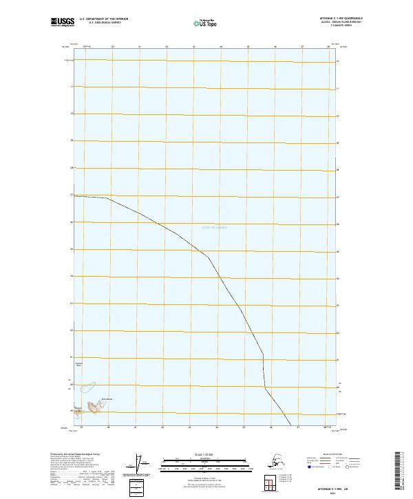
2021 · Afognak C-1 NW
USGS Topo · 1:25,000
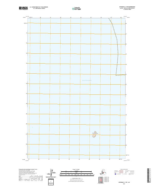
2021 · Afognak C-1 SW
USGS Topo · 1:25,000