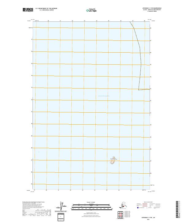
2021 Map of Afognak C-1 SW
USGS Topo · Published 2021About this map
Sea Otter Island stands as the primary terrestrial feature in this maritime survey, a small landmass surrounded by the open waters of the Gulf of Alaska. Located within the Afognak C-1 SW quadrangle, the map is dominated by a vast marine environment, highlighting the isolation of these offshore islands near Kodiak. The coordinate grid and Public Land Survey System boundaries, including t19s r18w and t18s r18w, delineate the naval territory and provide a precise framework for the region's geography. This survey documents the shoreline and bathymetry of a remote section of the Alaskan coast during the early 21st century, serving as a clean reference for the littoral landscape of the North Pacific.
Find a feature on this map
6 named features on this map. Tap any name to fly to it.
Don’t see what you’re looking for? This feature index may not catch every label — zoom into the map to look around manually.
Map Details
Editions of this 2021 Afognak C-1 SW Map
This is the sole edition of this map. No revisions or reprints were ever made.
Other maps of this area

1952 · Afognak
USGS Topo · 1:250,000

1952 · Afognak C-1 and C-2
USGS Topo · 1:63,360

1952 · Afognak B-2
USGS Topo · 1:63,360

1952 · Afognak B-1
USGS Topo · 1:63,360

1954 · Afognak B-2
USGS Topo · 1:63,360
1954 · Afognak C-1 and C-2
USGS Topo · 1:63,360
1954 · Afognak B-1
USGS Topo · 1:63,360
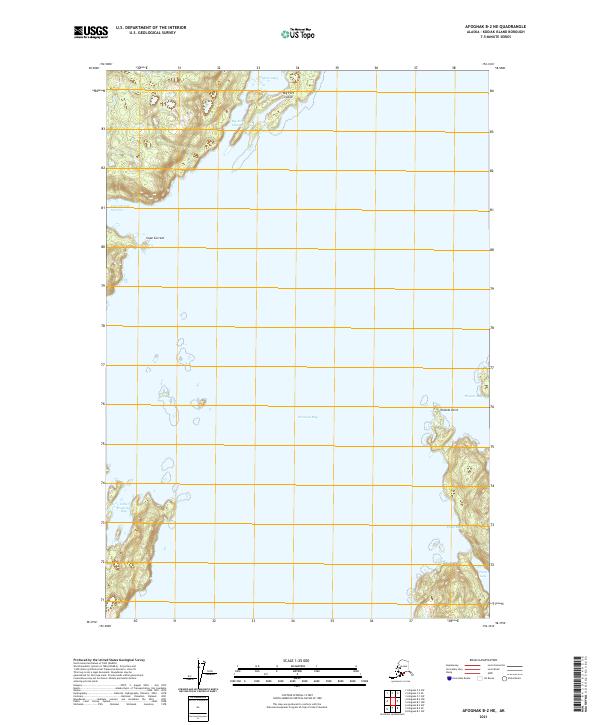
2021 · Afognak B-2 NE
USGS Topo · 1:25,000
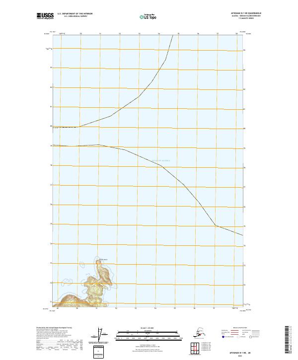
2021 · Afognak B-1 NE
USGS Topo · 1:25,000
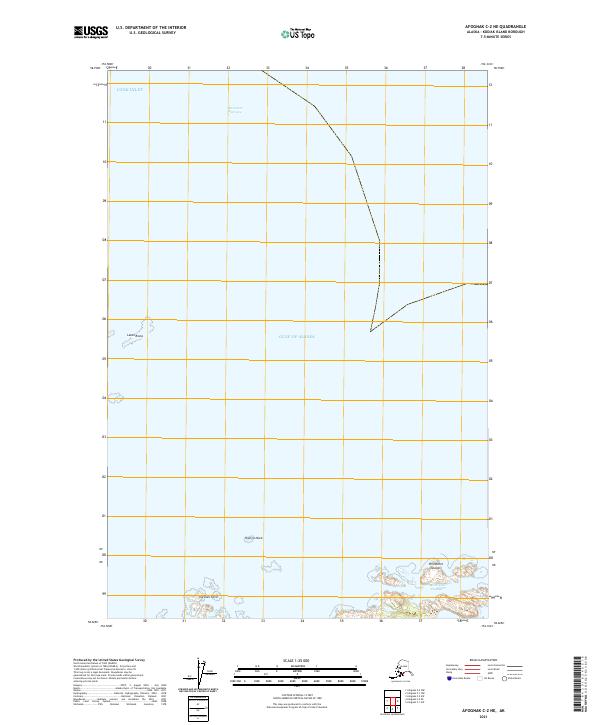
2021 · Afognak C-2 NE
USGS Topo · 1:25,000